


As snow periodically graced us in Tahoe this spring, we cling to winter but realize the goods will be gone sooner than later. While it may be depressing for snow enthusiasts, luckily it’s not the end of the world. As the seasons change, so do the activities. Thanks to this beautiful location in the Tahoe Basin, we have many to choose from. It’s great to play in the mountains in the winter, but in the summer, you really get to know them. Whether mountain biking, trail running or hiking, each bump, creek and canyon comes alive. Out in the hills after the snow melts, you’ll notice many things look different and new. That is everything but one… which one am I talking about? Lake Tahoe, of course!
Best Way To See Lake Tahoe
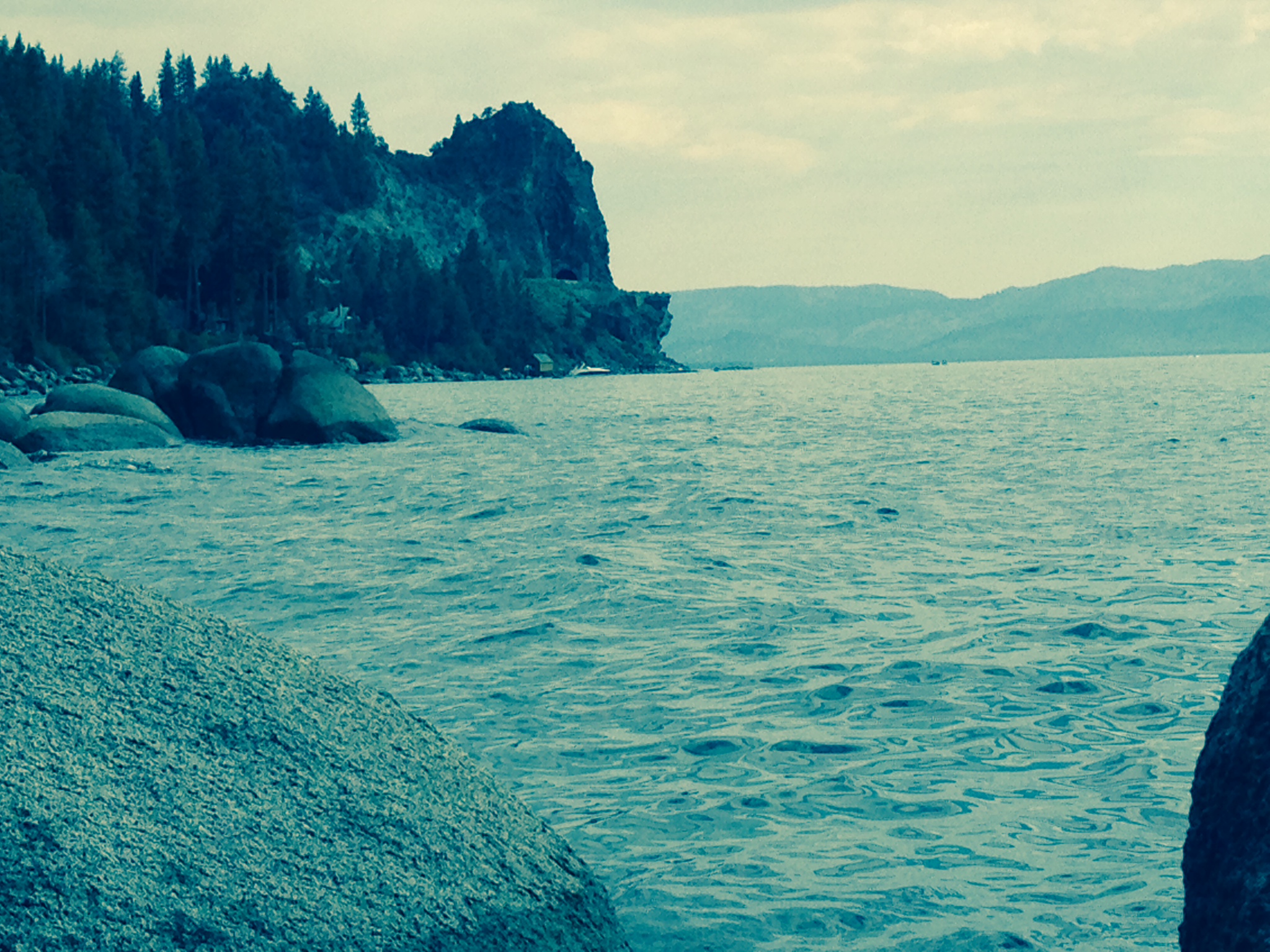
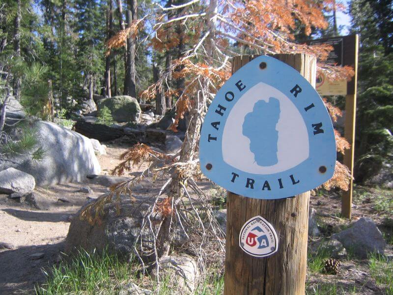
It is the largest sub alpine lake in North America, measuring 22 miles long and 12 miles wide. Although the water is crystal clear, it appears deep blue from a distance due to its depth of 1,645 ft.! When standing on the shores, it’s almost as if you are staring out over the ocean. But, if you really want a view of the lake, check it out at elevation. Only then can you truly appreciate this natural wonder. Unlike most alpine lakes, this is relatively simple to do thanks to the creation of the Tahoe Rim Trail (TRT).
Origins Of The Tahoe Rim Trail

In the late 70’s, a Recreation Officer with the U.S. Forest Service, named Glen Hampton, came up with an idea to build a trail all the way around the rim. He was determined, so he set out on many expeditions to collect information and locate possible routes. Much of the data collected was old routes used by pioneers, sheep herders and Native Americans. The idea was to use mainly volunteers along with partnerships from the Nevada State Parks and the U.S. Forest Service to complete the project.
Who Is The Tahoe Rim Trail Association?

Image taken by Jeff Moser – Carsonbike.com
The volunteers were made up from a group known as the Tahoe Rim Trail Association, founded in 1981. By 1984, a plan was decided upon and development began. Fast forward to 2001 and roughly 100 miles were completed. As part of the approved design, it was decided to connect the TRT to the existing Pacific Crest Trail on the west shore. Once completed, the total distance was calculated to be over 165 miles.
The TRT – Accessible to all
Unlike many other alpine trails, the TRT is highly accessible and offers something for everyone. From weekend visitors to extreme outdoor enthusiasts, all will find it fulfilling. There are many access points and it has been segmented to allow trips of any duration from one day to multiple weeks.
Mountain Bike & Horse Restrictions
One thing to note is that while bikes are welcome on the majority of the trail, there are certain segments they’re prohibited by federal law, while other short segments of the trail are closed to bikes or have use advisories put in place by the US Forest Service or Nevada Division of State Parks. For a complete rundown on where you can or cannot ride, check out the TRT’s Maps and Trail Information page. For those looking to go horseback riding, you’re allowed on all sections of the trail EXCEPT the Tahoe Meadows Interpretive Trail and a “hiker only” section at the Mt. Rose Trailhead.

This is the Tahoe Rim Trail on south shore.