It’s true—summer in Lake Tahoe can get crowded. But here’s a little secret: most folks flock to the legendary beaches and crystal-clear waters, leaving the trails wide open. With hundreds of miles of singletrack weaving through the forests and mountains, you can still find world-class, uncrowded riding—even on the busiest weekends. To help you get started, we’ve put together this Lake Tahoe Mountain Biking Trail Guide—a taste of the dirt you’ll want to shred along with a few tips on how to enjoy it. If you’re visiting Truckee be sure to check out our comprehensive Truckee Mountain Bike Guide as well.
What to Expect
When I first started riding in Lake Tahoe, the trails felt like a hodgepodge of random tours that didn’t really connect. But as I started pushing my rides beyond 20 miles, I realized many of these trails do link up—just on a much bigger scale than I expected.
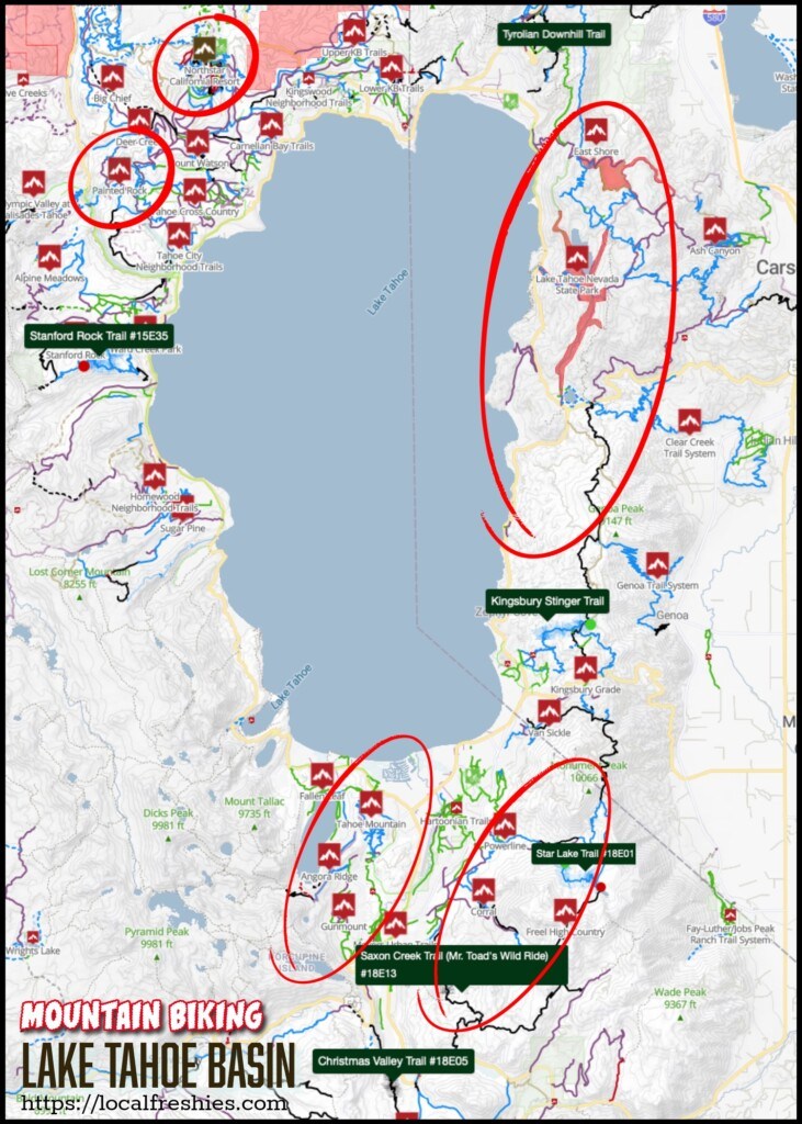
While there are still a few sections that aren’t fully connected (check out TAMBA’s big plan to see how they’re working on that), there are some key “zones” where you can create amazing loops or point-to-point shuttles. We highlight these in our Lake Tahoe Mountain Bike Guide below.
You can absolutely enjoy shorter rides here, but Tahoe truly shines when you stretch your mileage beyond 15 miles—it opens up a whole new level of adventure.
Biking on the Tahoe Rim Trail
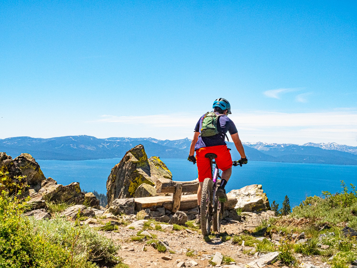
The Tahoe Rim Trail loops around the entire lake, and while it wasn’t built specifically for mountain biking, it offers some epic touring options. But keep in mind—most of the trail is off-limits to e-bikes, and there are a few segments where mountain bikes aren’t allowed at all.
One such stretch is the section from Marlette to Spooner—no bikes permitted.
That said, there are a few exceptions: e-bikes are allowed on the Flume Trail and on the TRT segment between Hobart Road and the state park boundary north of Tunnel Creek Road.
When to Visit
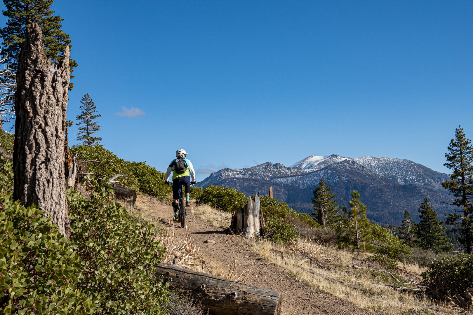
Mountain biking in Lake Tahoe all comes down to snowmelt—or that first snowfall. While Carson Valley trails offer nearly year-round riding, it’s a different story in the Basin. Lower elevation trails like Tahoe Mountain can open as early as late March, and we’ve even ridden some spots as late as Christmas!
On the flip side, higher elevation routes or north-facing trails—especially after a big winter—might not be clear until late June.
That said, prime riding season usually runs from May through October, depending on the snowpack and trail conditions. And when summer hits full blast in July and August? Head up high! Temps up there are 15–20º cooler—perfect for beating the heat and shredding in comfort.
Sanctioned Events
Throughout the summer, Tahoe hosts some big-time events that can make certain trails a bit more crowded—unless you’re part of the action! Whether you’re looking to join the fun, plan around it, or pick alternate routes, here are a few of the major ones to keep on your radar:
Tahoe 200
June 12-16, 2026
Tahoe 200 Event Details & Map
This ultra-endurance trail running event draws athletes from all over the world as they attempt to run the entire Tahoe Rim Trail. If you’re riding during this weekend, a simple way to avoid the crowds is to steer clear of the TRT itself.
Lake Tahoe Mountain Bike Festival
June 20-21, 2026
Lake Tahoe Mtn Bike Festival Details
Tahoe’s biggest mountain bike event of the year takes over the South Shore, turning Corral Trail into a full-on gravity fest. Instead of grinding your way to the top, the festival serves up shuttle laps so you can focus on what matters most: the ride down. Saturday is all about stacking unlimited laps on Corral, while Sunday steps it up with the legendary “Tahoe Triple Crown” tour linking together Christmas Valley, Mr. Toad’s Wild Ride, and of course Corral for one massive day in the saddle.
Tahoe 100
July 18th 2026
Learn more about the Tahoe 100 event
What was a qualifier for the legendary Leadville MTB race is now a stand alone race. This event winds through the Painted Rock and Northstar sections of the Tahoe-Truckee trail networks. Expect heavier bike traffic in those areas during race weekend.
Lake Tahoe Mountain Biking Map
Tahoe Mountain
Miles of Trails: 30+ miles | Number of Trails: 38 | Vertical Relief: 1,000+ feet
Trailforks: Tahoe Mountain Trail Network & Angora Ridge
Where to Park: Tahoe Mountain Rd & Forest Mountain Dr
“Tahoe Mountain? Isn’t every mountain in Tahoe a Tahoe Mountain?” We get it. But in the mountain biking world in Tahoe, Tahoe Mountain refers to a low-elevation peak in the southwest corner of the Basin. Thanks to its south-facing slopes and low elevation, it’s one of the first places to melt out in the spring—sometimes rideable as early as April (besides heading down to Carson City/Carson Valley/Reno).
Trail Highlights
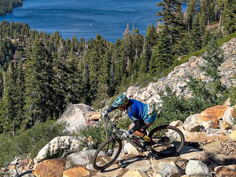
Tahoe Mountain South & Valley View (South Side)
Valley View is the more technical of the two, with banked turns, short rock gardens, and a couple of fun optional log rides.
Tahoe Mountain North (North Side)
A scenic XC-style descent (or climb) with smooth switchbacks and big views of South Lake Tahoe.
As the snow melts, more trails open up southwest of the main network across Tahoe Mountain Road.
Angora Ridge
Great for strong beginners or cautious intermediates. Steady grade, rocky, but totally rollable—with epic views of Fallen Leaf Lake.
Lily Lake
A must-ride for confident intermediates and advanced riders. Tahoe’s only slickrock-style riding, boulder traverses, and it all finishes with a massive view from a 75-foot cliff overlooking Fallen Leaf Lake, Tahoe, and Desolation Wilderness. Here’s an in-depth article I put together on Lily Lake—everything you need to know and why it’s a must-ride.
Recommended Route: Tahoe Mountain Loop
Difficulty: Moderate
Distance: 7.4 miles | Climb: 1,337 Feet | Descent: 1,333 Feet
Trailforks Tahoe Mountain Loop
Climb: Forest Mountain Road (asphalt becomes gravel) -> Mule Deer
Descend: Lower Angora Ridge
Climb: Tahoe Mountain Road (asphalt) -> Deveron Way (asphalt) -> Deveron Connector -> Tahoe Mountain Trail (North)
Descend: Valley View -> Tahoe Mountain Trail (South)
Corral
Miles of Trails: 56+ miles | Number of Trails: 30+ | Vertical Relief: 4,400+ feet
Trailforks: Corral & Freel High Country
Where to Park: Main Corral Parking Lot
Welcome to the heart of South Lake’s mountain biking scene. Whether you’re after jumps, backcountry XC, or an alpine lake escape—it all starts at Corral. Just know: mid-summer gets crowded and shady spots are rare in the lower sections post-Caldor Fire.
Trail Highlights
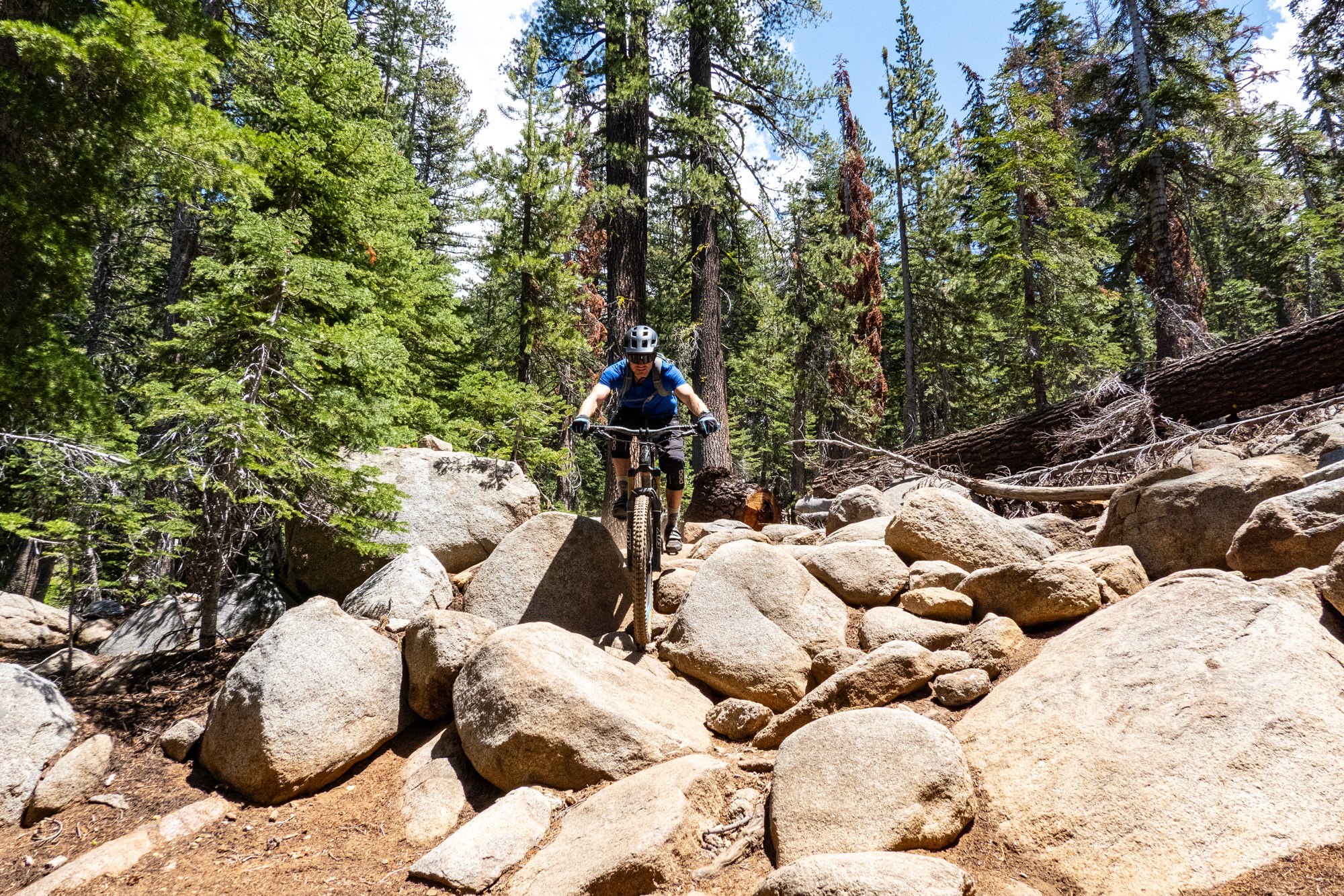
Corral, Incense Cedar & Sidewinder
Corral is the crown jewel—berms, rock gardens, and a full jump line. Sidewinder mellows it out with flowy switchbacks and easy ride-arounds. Incense Cedar is a peaceful XC escape with shade and solitude.
The Armstrong’s
Stack your ride. Armstrong Connector adds 700’+ vert and Tahoe views, with big rock features for tech lovers. Armstrong Pass climbs another 1,200’ through forested singletrack and scattered rock gardens.
High Country Epics
From the top of Armstrong Pass, link into the Tahoe Rim Trail for big-mountain adventure. Choose between:
Star Lake + Cold Creek
An alpine lake that Henry David Thoreau would’ve written an entire book about. Alpine bliss, expansive views and then a ripping finish filled with technical fun. Read about it in detail in Biking To Star Lake Tahoe – Our Favorite Summer Adventure.
Mr. Toad’s Wild Ride
Tahoe’s benchmark descent with massive drops, troll-built rock gardens, and “The Steps.”
We break all these trails down (and more) in our full guide to South Lake Tahoe’s best MTB rides.
Recommended Route: Mr. Toad’s Wild Ride Loop
Difficulty: Expert
Distance: ~19 miles | Climb: 3,301 Feet | Descent: 3,349 Feet
Trailforks Loop
Climb: Fountain Place Road (asphalt until it ends)) -> Armstrong Pass
Descend: TRT Freel Meadow -> Mr Toad’s Wild Ride
Recommended Route: Star Lake Loop
Difficulty: Advanced
Distance: 23.6 miles | Climb: 3,821 Feet | Descent: 3,781 Feet
Trailforks Star Lake Loop (Doesn’t match exactly – route below removes some of the brutal climb on High Meadows Road)
Climb: Cold Creek Access Road (gravel) -> Cold Creek (lower) -> water crossing -> High Meadows Road -> Star Lake Road (singletrack) -> Star Lake Trail
Descend: TRT High Meadows -> TRT Heavenly -> Van Sickle -> Saddle Road Connector -> Powerline Trail
For more options and why Star Lake Connector is one of our favorites, dive into the juicy details in our Star Lake Trail ride guide
East Shore
Miles of Trails: 78+ miles | Number of Trails: 29 | Vertical Relief: 3,700+ feet
Trailforks: Lake Tahoe Nevada State Park
Where to Park: Spooner Lake State Park ($10 entrance fee)
Note: For 2025 & 2026 a large segment of the trails here are closed due to dam reconstruction.
You may notice that the eastern shore is the least developed—thanks in part to a millionaire recluse named Captain George Whittell Jr. He left 27 miles of shoreline untouched for the sake of privacy which became public lands. While you won’t find much in the way of purpose-built flow trails, what you will find are classic, big mountain bike tours featuring some of the best views of Tahoe and the surrounding region.
Trail Highlights
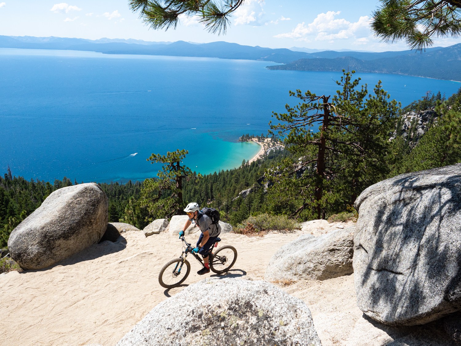
Tahoe Rim Trail (Spooner to Kingsbury)
A tale of two trails in one:
- From US-50 south: smooth singletrack and a steady grind to the top.
- From Kingsbury north: a technical beast—loose granite, boulders, and features that test your skills (or your patience).
At the top, locals call it “the bench”—a handmade seat with a front-row view of the lake.
The Flume
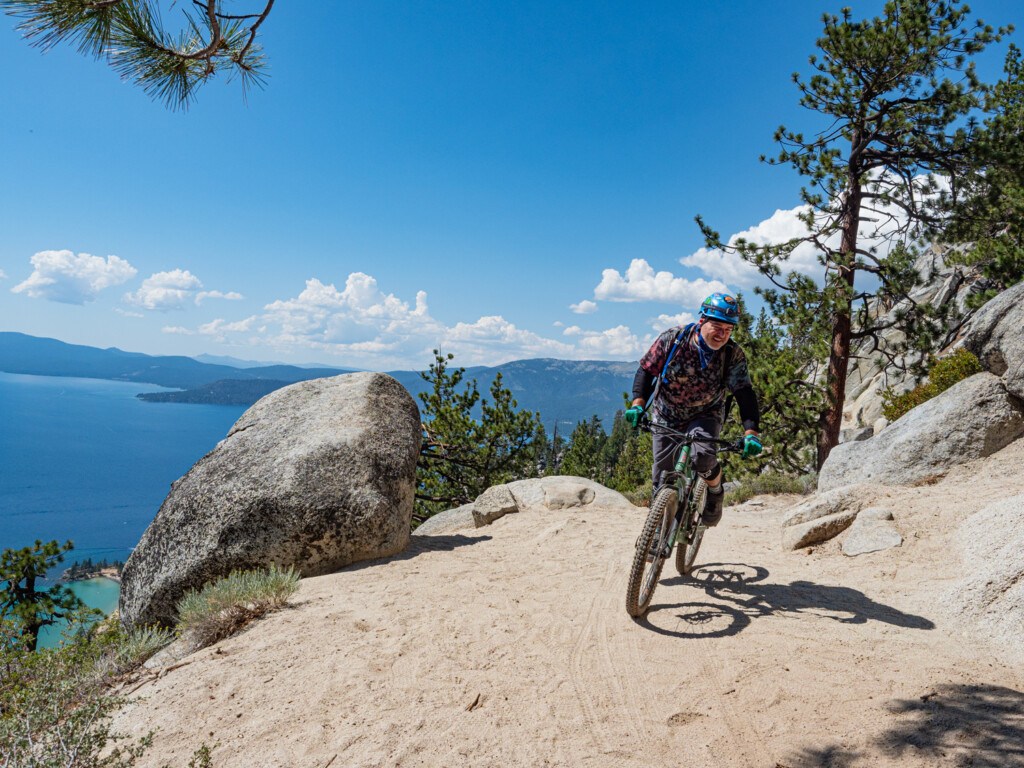
The most scenic ride in Tahoe—period. Hugging cliffs high above the lake, it delivers unbeatable views of Sand Harbor and Marlette Lake. Perfect for intermediate riders with a head for heights. Want more? We break it down in our Flume Trail ride guide.
Capitol to Tahoe
From Tahoe’s alpine ridgelines to the front steps of Nevada’s capitol in Carson City, it’s a climate-crossing epic—from granite peaks to grassy prairies.
Pro tip: Shuttle it unless you’re up for a serious challenge. The “shortest” route clocks in at 23+ miles, with 2,300 feet of climbing and over 4,300 feet of descent.
Recommended Route: Flume Trail Shuttle (Check construction closures)
Difficulty: Easy (Except for steep exposed sections)
Distance: 13.1 miles | Climb: 1,548 Feet | Descent: 2,107 Feet
Trailforks Spooner State Park to Tunnel Creek Cafe
Climb: North Canyon Road (gravel) -> Flume Trail Road (gravel)
Descend: Flume Trail -> Tunnel Creek Road
Northstar Bike Park
Miles of Trails: 100 miles | Number of Trails: 50 | Vertical Relief: 2,727+ feet
Trailforks: Northstar Bike Park

While technically not a bike trail, we have to give a shout out to the only lift-accessed biking in the Tahoe Basin for now (Kirkwood shut theirs down back in summer 2019). Northstar is Northern California’s largest bike park featuring two lifts and a network that will keep every skill level content. If you aren’t into lift-accessed or just want to mix it up, they also offer cross-country goodness to go along with their downhill fun in their 100-mile network. Lastly, if it’s dusty (which happens a lot in late summer/early fall), Northstar irrigates some of their trails to help reduce the “moon dust” that happens later on in the season. Looking for another destination that combines lift served riding with excellent trail networks beyond the bike park? Big Bear offers a similar experience, with Snow Summit and Snow Valley complemented by miles of classic cross country singletrack and easy shuttle descents.
Painted Rock
Miles of Trails: 50+ miles | Number of Trails: 40 | Vertical Relief: 1,500 feet
Trailfork areas: Painted Rock & Tahoe Cross Country
Where to Park: Tahoe XC Center
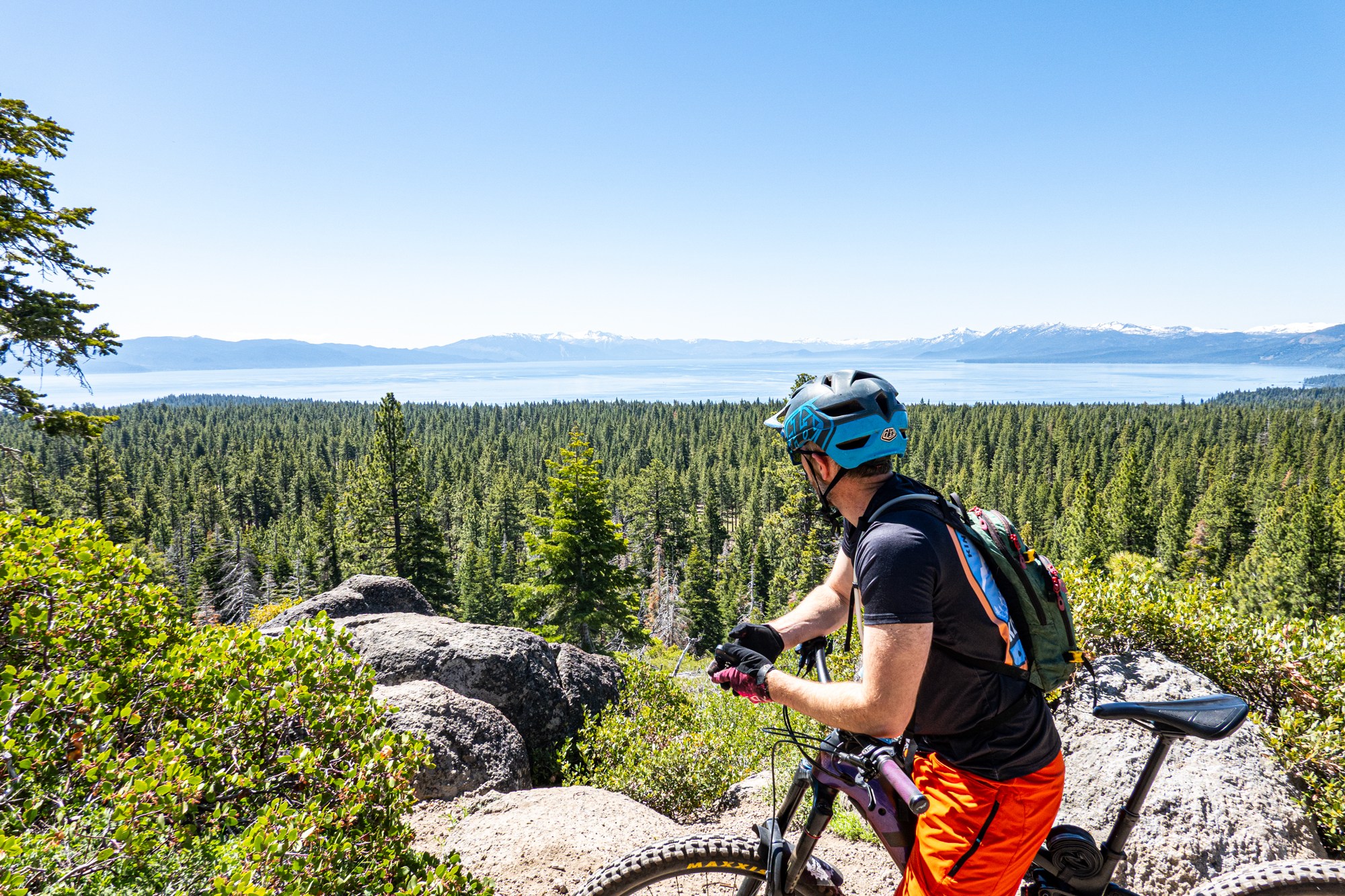
If there’s one area that offers up the largest web of singletrack and doubletrack in Tahoe’s mountain bike scene, this is it. And while it might look mellow on Trailforks, the constant rolling terrain somehow can make it feel like you’re climbing both directions. The key is having a game plan so you don’t burn unnecessary time or energy wandering around the network. A good rule of thumb: use the fire roads for climbing and save the trails for descending.
The lower section around Tahoe City XC is better suited for gravel bikers and beginners, though be aware the first half mile on Burton Ranch Road is chunky. The higher you climb, the better the terrain and views get. Lakeview Ridge lives up to its name with nonstop Tahoe panoramas, while TRT Glass Mountain, Painted Bear, and OTB deliver some of the best descents in the zone. Make sure to hit the short but sweet Road 73 bypass off Painted Bear. Then there’s Whoop-de-doo and Upper Orange, where the name says it all: wide open doubletrack packed with endless rollers. Still hungry for more miles? You can even connect into Big Chief, which we’d consider part of the greater Truckee mtb trail network.
Recommended Route
Difficulty: Moderate
Distance: 10.9 miles | Climb: 1755 Feet | Descent: 1754 Feet
Trailforks XC Westward Loop
Climb: Water Tank Trail -> Lakeview Road / Ridge Trail -> TRT Watson Traverse -> TRT Fire & Ice
Descend: TRT Painted Rock -> Deer Creek Road
Instead of what map says for exit enjoy flow trails to return to parking:
Climb: Instead of Bear Trap (on loop map) take Charging Bear
Descend: Whoop Dee Doo -> Upper Orange
One-Hit Wonders: Tahoe’s Singletrack Gems
Beyond the big-name trail networks, Tahoe’s got a stash of singletrack gems we call one-hit wonders. Some link into larger systems, but many shine as shuttles or out-and-backs.
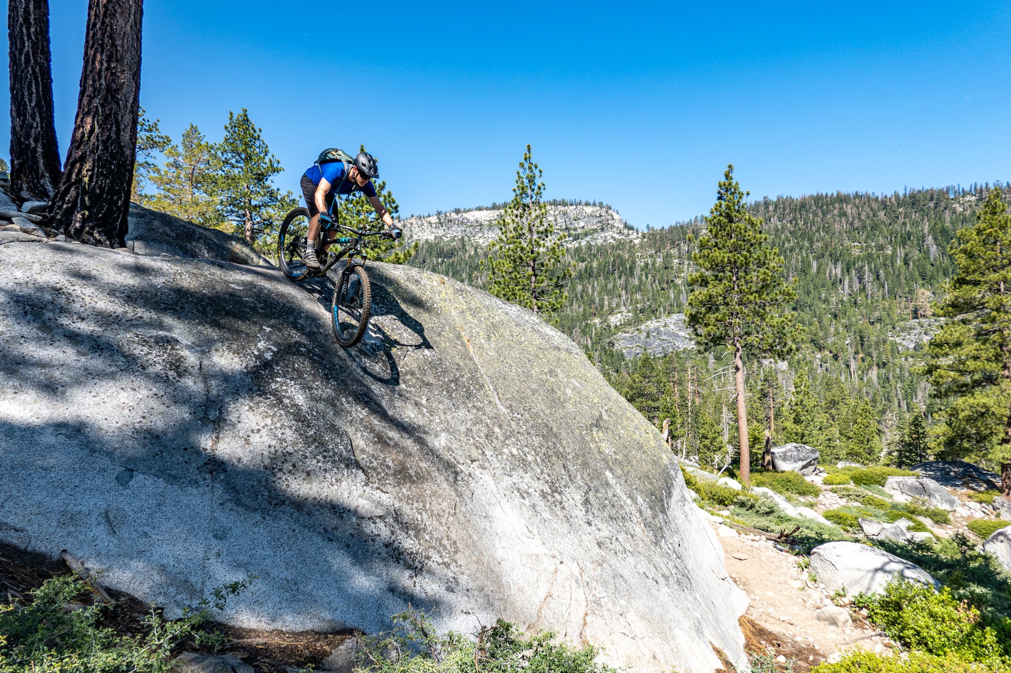
Stanford Rock (West Shore)
Difficulty: Moderate
Distance: 15.4 miles (out and back) | Climb: 2205 Feet | Descent: 2205 Feet
Trailforks: Standford Rock out-and-back
A must-ride on the West Shore. Once a fire road, TAMBA turned it into a flowy masterpiece. Starts in deep forest, then opens to jaw-dropping views of Lake Tahoe and Homewood. The higher you climb, the better it gets.
Tyrolian Downhill (Shuttle – Incline Village)
Difficulty: Moderate
Distance: 15.4 miles (out and back) | Climb: ~150 Feet | Descent: 1800+ Feet
Trailforks – Tyrolean Downhill trail
Where to park: Shuttle top | Shuttle Bottom
Designed by pro rider Cam Zink, this feels more like a private bike park than a trail. Berms, rock gardens, sandy corners, and a jump line (optional) make it a full-throttle shuttle run.
Kingsbury Stinger (East Shore)
Difficulty: Moderate
Distance: 9.4 miles (out and back) | Climb: 1504 Feet | Descent: 1504 Feet
Trailforks: Lower Kingsbury Stinger – Upper Kingsbury Stinger
Where to park: Stinger TH
If there’s one trail that offers a little something for everyone in Tahoe, it’s Kingsbury Stinger. Techy rock features and side hits for advanced riders. Ride-arounds for intermediates. Fun both up and down for pedalers. Or shuttle it for a pure downhill blast.
Christmas Valley (South Shore)
Difficulty: Advanced
Distance: 8.1 miles (Loop) | Climb: 1643 Feet | Descent: 1643 Feet
Trailforks – Christmas Valley Loop
Where to park: Christmas Valley TH
A gritty, technical trail that’s more about consistency than chaos. It’ll test your skills—line choice, speed control, pedal timing. TAMBA’s recent updates added new alt lines if you want to crank up the challenge. Not as wild as Toad’s, but it keeps you honest.
Want more? Dive into the juicy details in our Christmas Valley Trail ride guide.
Thunder Mountain (Kirkwood)
Difficulty: Advanced
Distance: 12 miles (Loop) | Climb: 2623 Feet | Descent: 2643 Feet
Trailforks: Thunder Mountain Loop
Full Local Freshies Guide to Thunder Mountain Trail
It just might be Tahoe’s best kept mountain bike secret. Think massive granite slabs, chunky volcanic rock, endless line choices, alpine wildflowers, and an old school backcountry vibe that’s getting harder to find. The climb will humble you. The descent will have you planning your next ride before you’re back at the car.
If the trails we’ve covered so far aren’t enough—or you’re craving something a bit more wild—there are plenty of one-off epics just outside of the Lake Tahoe Basin worth checking out. Trails like Charity Valley near Carson Pass or Big Chief in Truckee.