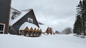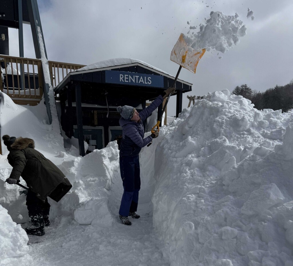
The western US has been roasting under a brutal heat wave, forcing multiple ski areas to shut down early including our very own Sierra-at-Tahoe back on March 22nd. While we’ve already talked about the East’s record-breaking winter in our 2025/26 recap, there’s another surprise star quietly stealing the powder show: Michigan, particularly its Upper Peninsula ski resorts.
The March Blizzard
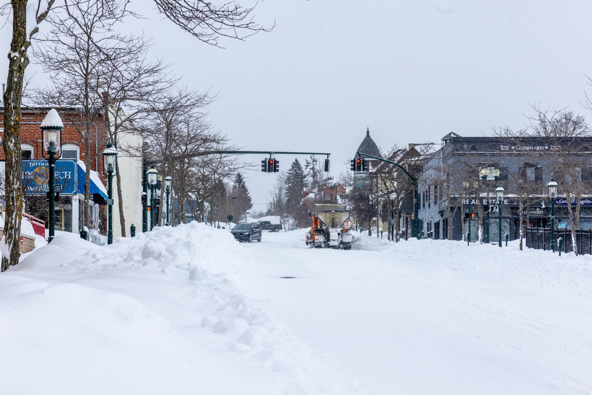
Everyone thought last year’s winter was epic, but the Great Lakes lake effect machine said, “Hold my beer,” and outdid itself with a winter on par to last season’s record snows. What truly put this winter over the top was a historic winter storm in Michigan, a multi day March 2026 blizzard that didn’t just break daily records, it took things to a whole new level. Here are some ski areas that were right in the heart of the storm track.
Marquette Mountain
36+ Inches in 48 Hours
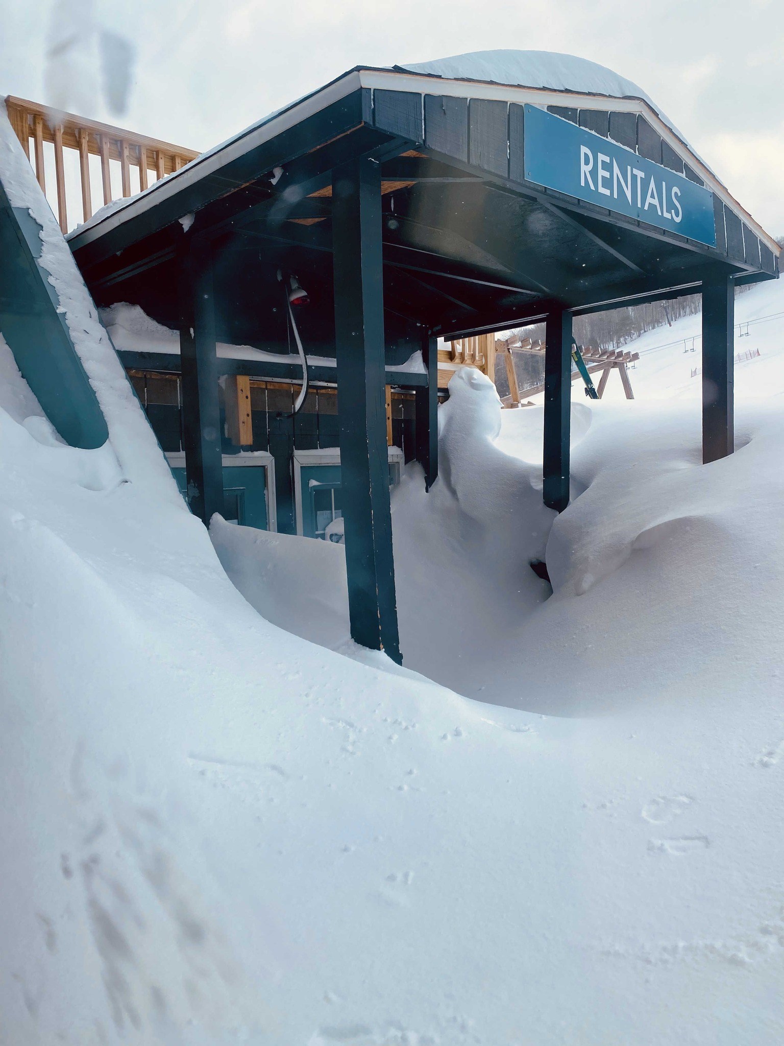
Marquette Mountain sat right in the heart of this historic storm. While the resort reports snowfall like they do in Japan, nearby Marquette shattered records. More than 36 inches fell in just two days, including nearly 22 inches in a single day, thanks to intense lake effect bands. This broke its previous two-day snowfall record set in 1997. Judging by the photos of crews digging out, those numbers look very real. As of March 17th, Marquette is up to 262.7 inches for the season, closing in on the all-time record of 276.8 inches set in 2001/02.
Boyne Mountain
24+ inches in 48 Hours
As of March 18th, 2025: 173 inches
As of March 18th, 2026: 190 inches
While the heaviest snow hit the eastern Upper Peninsula, the Lower Peninsula, especially around Traverse City, still put up some impressive numbers. With Boyne’s tradition of building up a “glacier” and pushing to keep lifts spinning as long as possible, this extra shot of snow is exactly what they needed for a strong spring season.
Mt Bohemia – Snowiest Winter?
29 inches in 72 Hours
Average Snowfall: 273 inches
As of March 18 th,2026: 332 inches
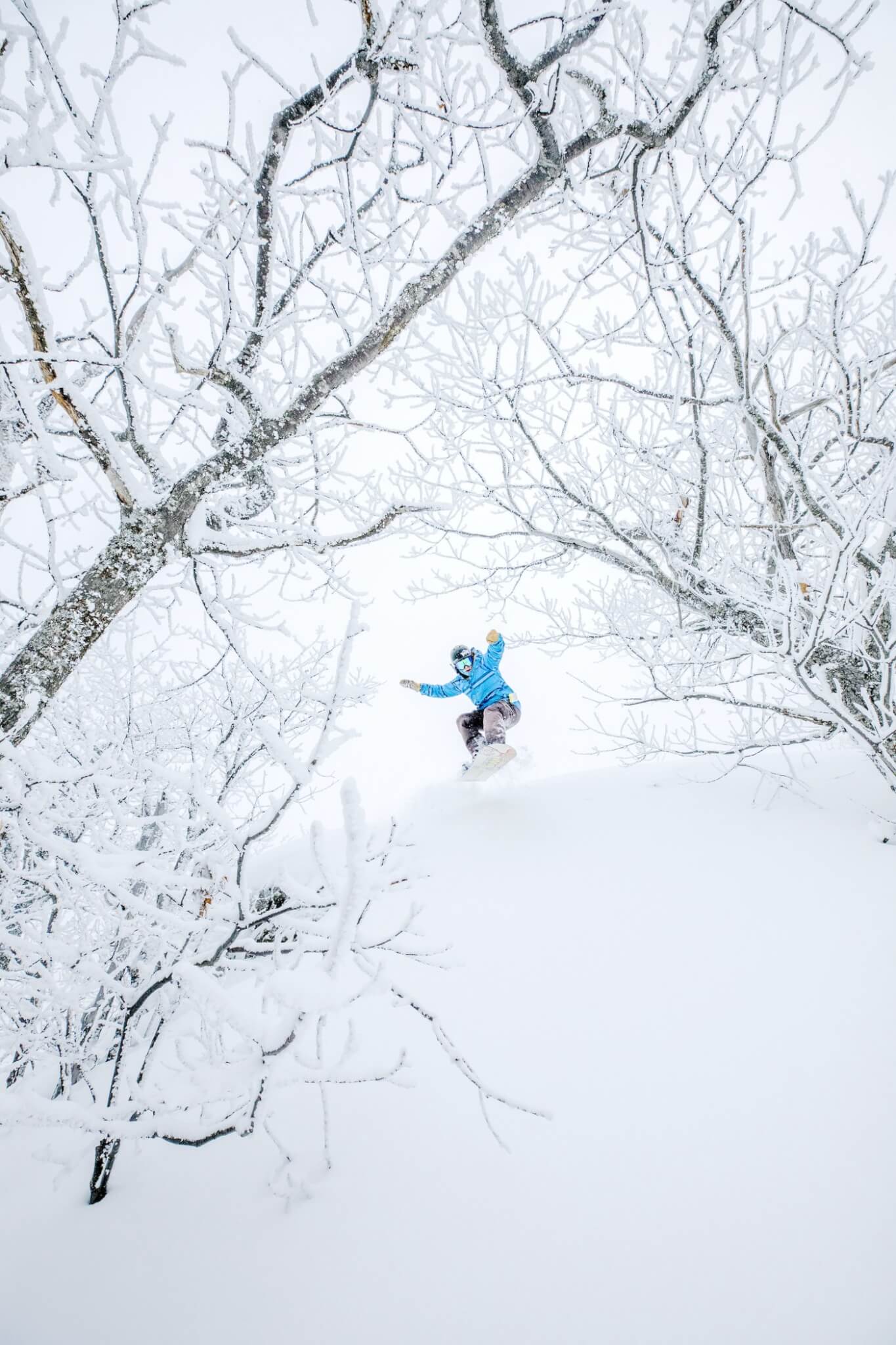
For Midwest powder lovers, Mt. Bohemia reigns supreme and this season it’s proving it once again. While other ski areas scored big from this storm, Bohemia has been stacking snow all winter long. Just how good has it been? Its previous best season since opening was 321 inches in 2021/22, and as of March 18, 2026, it has already blown past that mark and is still going strong.
So is this the snowiest winter ever? It depends on how you look at it. The all time regional record is 390.4 inches inches from 1978/79, before Mt. Bohemia existed. But honestly, who cares. It’s deep, it’s dumping, and it’s all time powder.