As a Monday morning meteorologist, I love digging into the stats. They remind us that winters like this have happened before and help keep things in perspective. Still, the 2025/26 season is shaping up to be a memorable one, and not necessarily in ways skiers and snowboarders love. A record heat wave across the western U.S. this week will not help an already thin snowpack. Even so, low snow years can still deliver fun turns and good days in the mountains. Here’s how the 2025/26 season has shaped up so far.
A Winter of Extremes
If you read our update back in January, outside of most of Canada, the Midwest, and the East Coast, you know this winter got off to a slow start. Across the Western U.S., it has been one of the warmest seasons in recent memory. Where storms have rolled through, they’ve mostly been warm systems, bringing high snow levels and dense, heavy snow instead of the colder, lighter powder people usually hope for.
It has been even tougher in the southern half of the United States, where conditions have been historically dry. Southern Colorado and much of the Southwest have struggled to build a normal snowpack all season.
There have certainly been great days everywhere this season, but our goal is to provide a bigger picture perspective, highlighting key storylines we’ve heard from friends across North America. This should give you a clear sense of how the season has unfolded. Let us know if we’ve missed anything.
Lake Tahoe: Feast & Famine Cycle
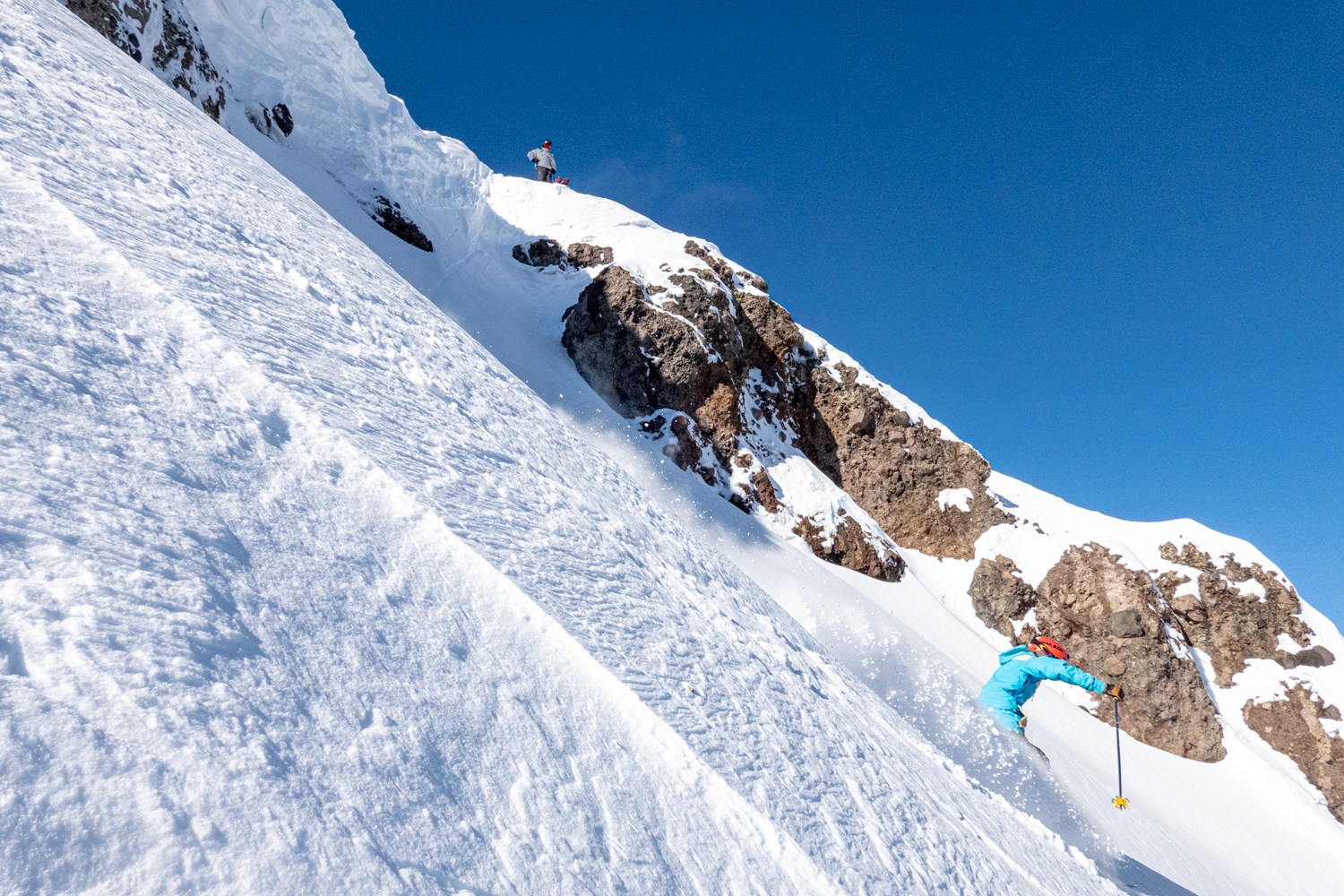
At first glance, snowfall totals suggest Lake Tahoe is having a fairly typical below average winter compared to the rest of the West. But the real story is how that snow arrived. Roughly 75% of Tahoe’s snowfall this season fell in just 10 days across three storms, a classic feast or famine pattern but taken to an extreme in 2025/2026.
It has also been unusually warm. At the Truckee airport station, February averaged 3.1°F above normal, bringing the November through February period to 3.5°F above average, making it the second warmest since 1980. That warmth has taken a toll on the snowpack. Near 7,000’ it dropped from about 75% of average on February 25 to around 50 percent of average by March 8, and with mid-March temperatures potentially pushing into the 60s, meltout is accelerating. That has pushed multiple ski areas to close a full month earlier than their typical early to mid-April closings.
Colorado: Snowpack Challenges
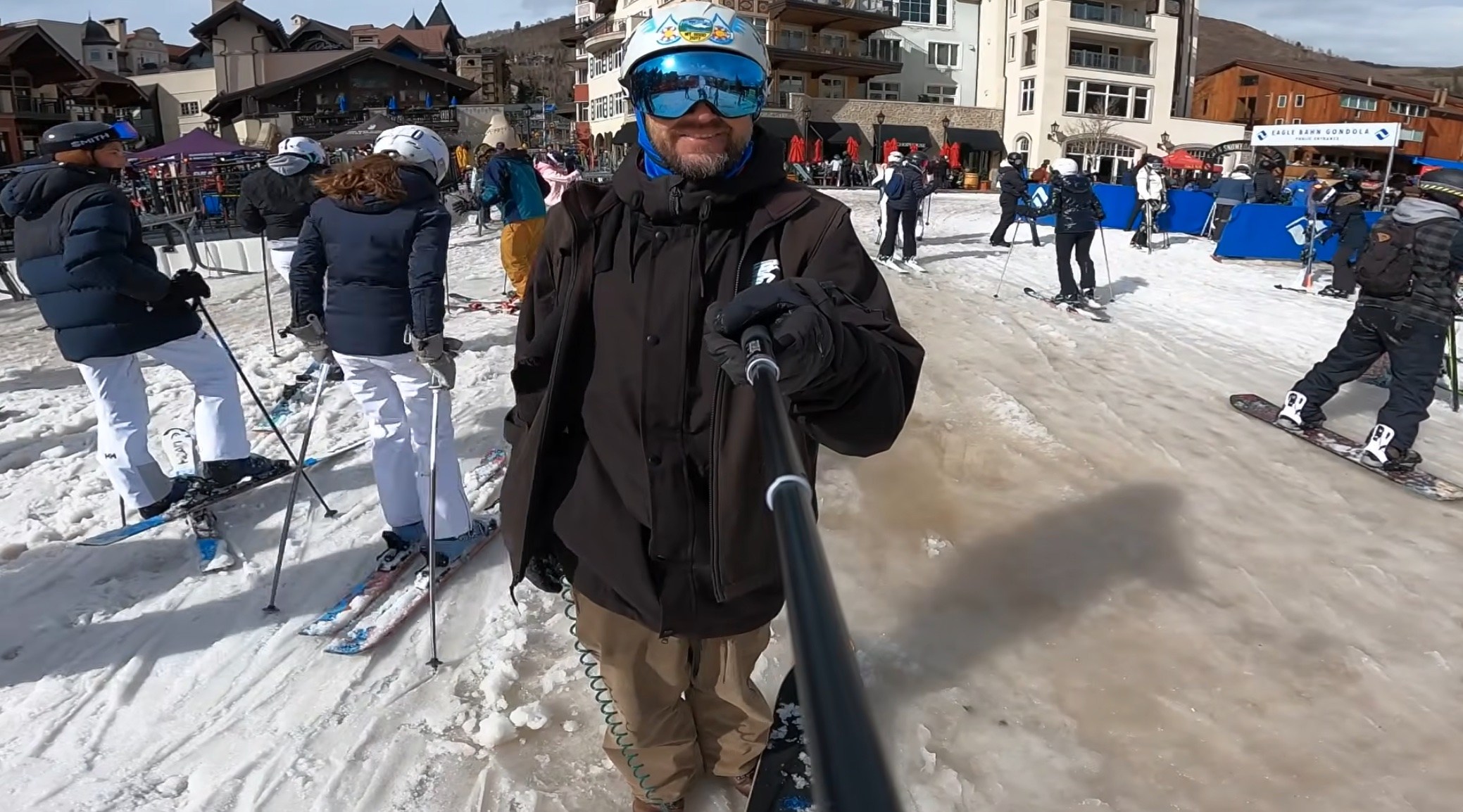
There have still been powder days this season especially in March and plenty of fun turns on the hill, but the bigger picture puts things in perspective. New Year’s Day saw the least open terrain since the 1980/81 season, and for most of the past five months it has felt like low tide across the mountains.
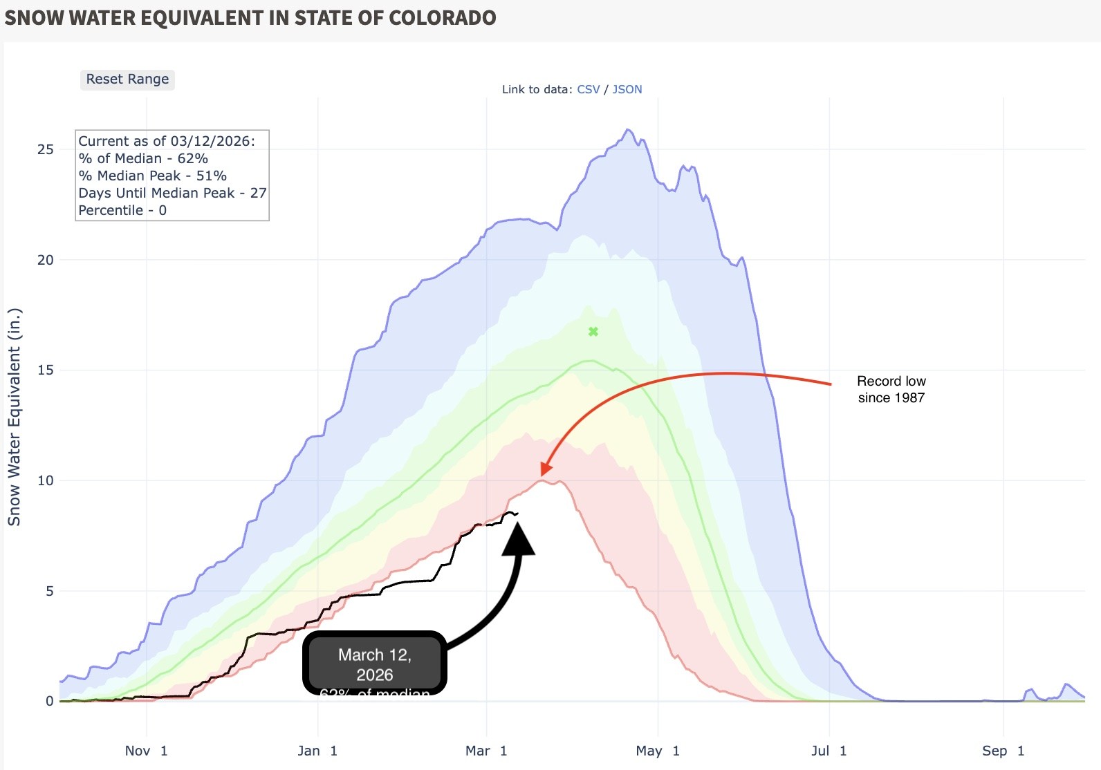
Snowpack numbers tell a similar story. Colorado is hovering near the lowest levels seen in the past 30 years, and with a mostly dry forecast over the next two weeks, this season’s line is likely to flatten out and settle near the bottom of the historical range. There has been relief in early March with some of the best powder skiing of the season. Like the rest of the Western US the forecast is calling for temps mid-March in places like Crested Butte to top the mid-60s.
Utah: Slow Start & Unusual Heavy Snow
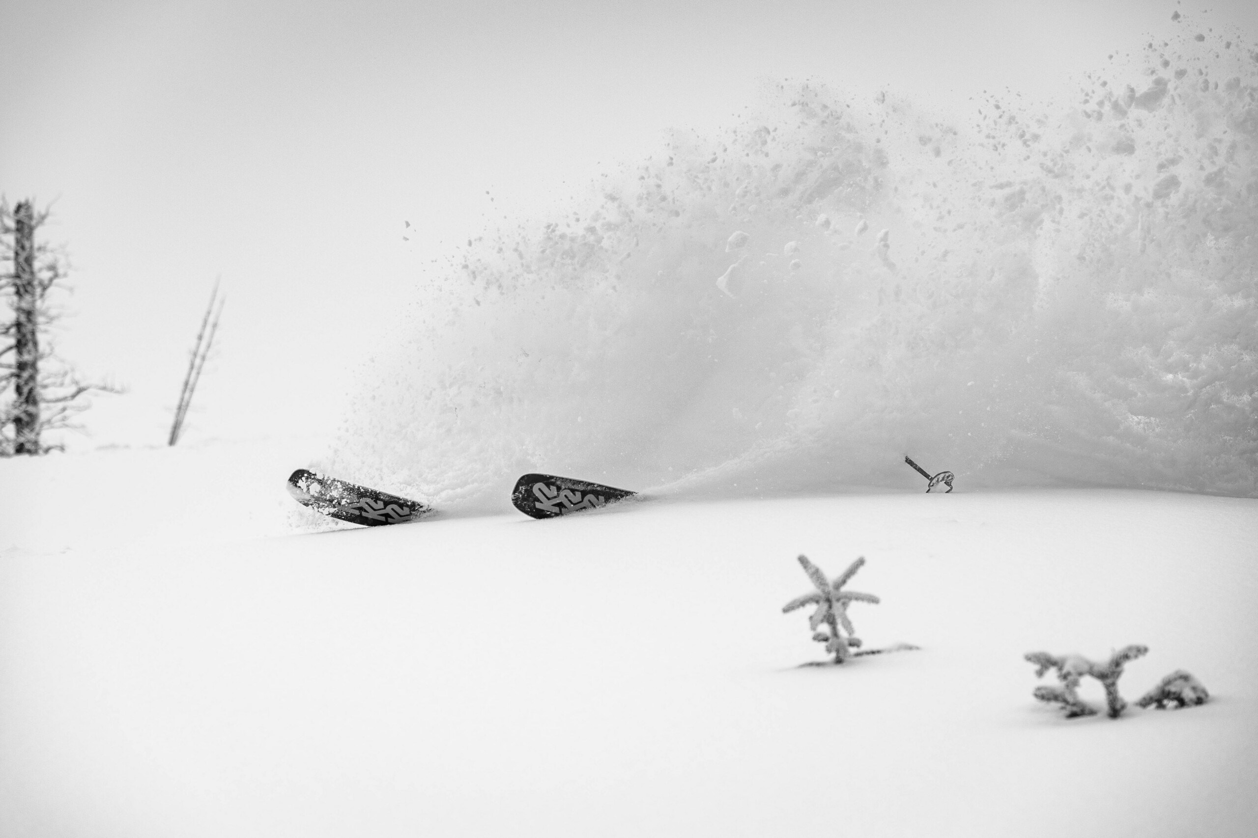
Utah’s season started historically slow, with the second worst Christmas for snowpack since the winter of 1976/77. Despite the slow start, there were still standout powder days, including several strong storms in early March. Unlike 1976/77, the issue this year has not been extreme dryness but persistent warmth.
That warmth has also changed the character of the snow. Utah is famous for the “Greatest Snow on Earth,” but this season the average snow density has climbed to about 12.44% water content. For comparison, Alta typically averages around 8 percent, and the resort has never finished a season with an average density of 10 percent or higher.
Pacific Northwest: Rollercoaster To Late-Season Comeback
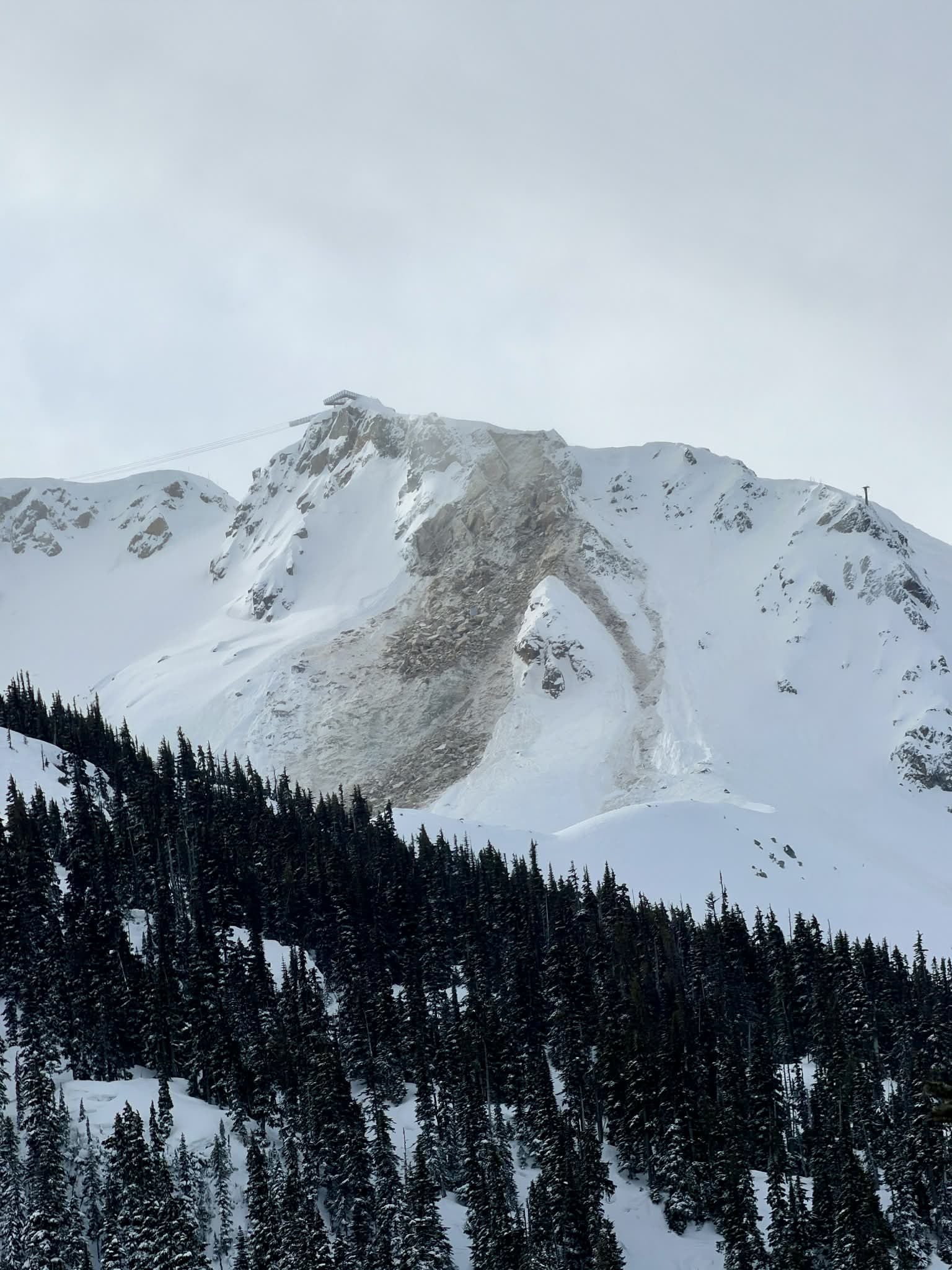
The Pacific Northwest season has been a rollercoaster. The region saw its warmest November through January on record, with temperatures more than 4°F above average in Washington. Much of December’s precipitation fell as rain instead of snow, including record rainfall that damaged the US Highway 2 which accesses Stevens Pass, contributing to what researchers described as both a “wet snow drought” and a later “dry snow drought” during a very dry January. By the end of February, regional snowpack ranked as the third lowest on record, just above the record lows set in 2005 and 2015.
The thin snowpack forced some early season disruptions, including a temporary closure at Bluewood in early February and the cancellation of Mt. Baker’s annual Legendary Banked Slalom. Then in early March the pattern finally flipped, with a major storm cycle delivering feet of cold snow across the region. Stevens Pass alone picked up 85 inches over four days, offering a late season boost after a challenging winter.
Southwest: Struggles In One of Leanest Winters
It has been a rough winter across most of the Southwest, with snowfall totals well below normal almost everywhere. Nowhere is that more obvious than at Ski Santa Fe.
The mountain has received just 75 inches of snow this season, less than half of its typical 220 inch average. Snowpack across the state is currently the lowest on record. New Mexico typically reaches peak snowpack around March 22, but this year it appears to have peaked around February 22, nearly a month early. With record breaking warmth and no meaningful storms in the forecast, the resort announced it will end its season early on March 22, two weeks ahead of its planned April 5 closing.
One exception this season has been Arizona Snowbowl. An early season storm cycle dropped more than 60 inches by early December, making it one of the best early season spots and allowing the mountain to open 93 percent of its terrain. Consistent snowmaking and a few well-timed storms have helped maintain coverage, making it a rare bright spot in the Southwest this winter.
Interior B.C. / Alberta: Deliver the Goods
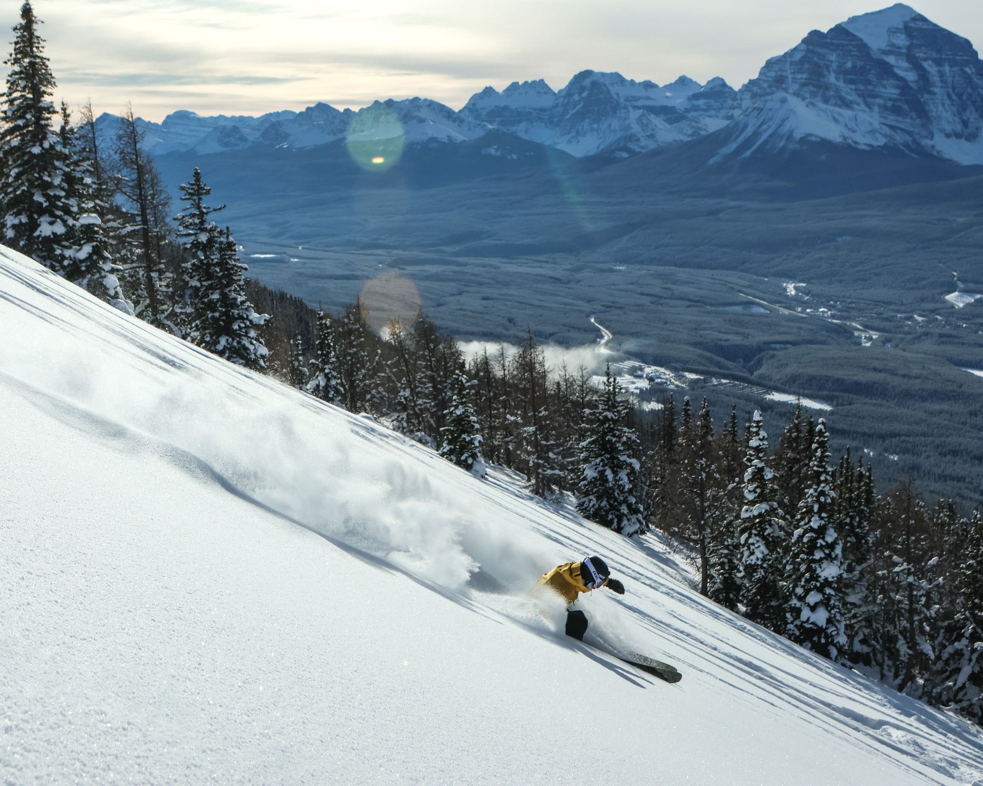
Contrary to much of the western half of the continent, ski resorts along the Powder Highway have been having a banner season. Resorts like Revelstoke Mountain Resort and Kicking Horse Mountain Resort saw one of their snowiest Decembers on record.
Farther east in the Banff National Park area, Lake Louise Ski Resort shattered a 75 year old snowfall record, receiving 111 inches of snow in December 2025 alone. Regular refreshers continued through January and February, with more snow in the forecast for March. While temperatures fluctuated later in the season, it has still been an exceptional winter overall.
East Coast: Historic Snowfall
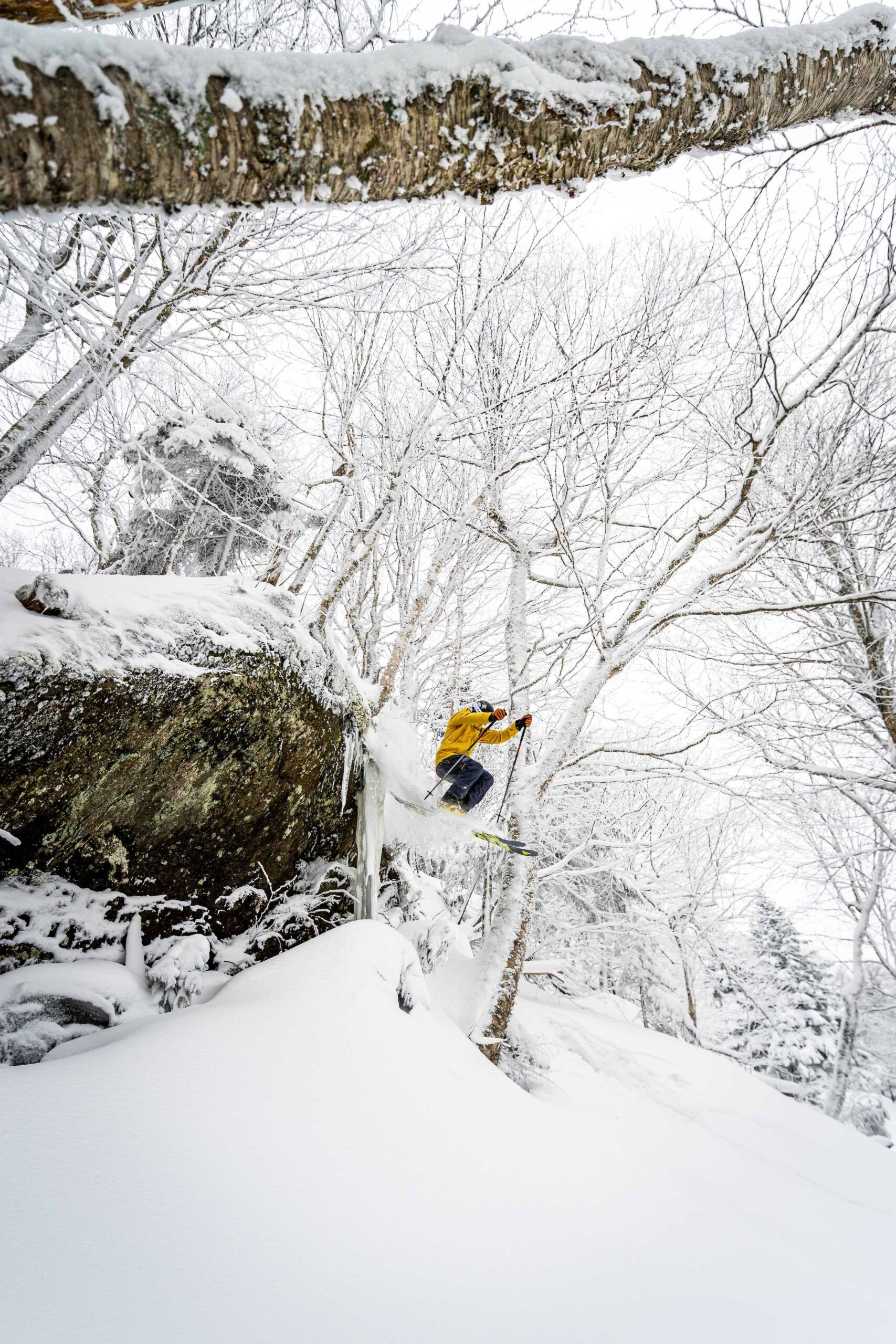
Out East, the winter has not just been good. It’s been historic. Nearly every ski area across the Northeast is well above average snowfall, thanks to a persistent Greenland block that has kept a steady northwest flow of cold air and storms across the region.
The best example is Jay Peak Resort in Vermont. By November 30, snowfall had already reached 119 inches, an all-time early season record. By January 26, totals climbed to 300 inches, another record. As of March 13, the mountain sits at 356 inches for the season. The big question now is whether this winter can challenge the legendary 2000/2001 season, when 581 inches fell at Jay Peak.
Could the Blob be to Blame?
 Back in September, we reported that the return of the Blob could set the stage for a rough winter across parts of the West. The anomaly did weaken briefly in November, but by December it reintensified significantly.
According to National Oceanic and Atmospheric Administration (NOAA), coastal sea surface temperatures were among the warmest ever recorded for this time of year. These elevated temperatures persisted through most of December and were comparable to wintertime anomalies seen during the powerful 1997/1998 El Niño and the well-known Pacific Warm Blob of 2014/2015.
Is There Hope?
Most of the Western U.S., except California and the Southwest, has seen some version of a “Miracle March” with a few deep powder days. Even so, this winter has been challenging. The next two weeks of record warmth across the West will not help an already thin snowpack. While it’s impossible to predict what late March, April, or May will bring, there’s still a chance the season could finish on a brighter note. Even if it doesn’t, this time of year still offers some of our favorite skiing with sunshine, corn harvesting, and positive vibes.