Before you get to the powder, sometimes you have to survive the drive.
Across the West, ski areas sit at the end of roads loaded with switchbacks, steep grades, massive snowfall, avalanche paths and the occasional drop off that makes you grip the steering wheel just a little tighter. So which ski road is the sketchiest?
We decided to have a little fun with it and figure out which ones might be the most dangerous roads per mile on the way to a ski area. To stack them up, we looked at things like switchbacks, snowfall, road grade, elevation gain, summit elevation and other hazards that can turn an innocent drive to the lifts into its own little adventure.
Is this some official government danger index? Absolutely not. But if you’ve ever white knuckled your way over a mountain pass with snow blowing sideways, you already know the truth:
Sometimes the most memorable part of a ski day happens before you even click into your bindings.
How We Ranked the Roads
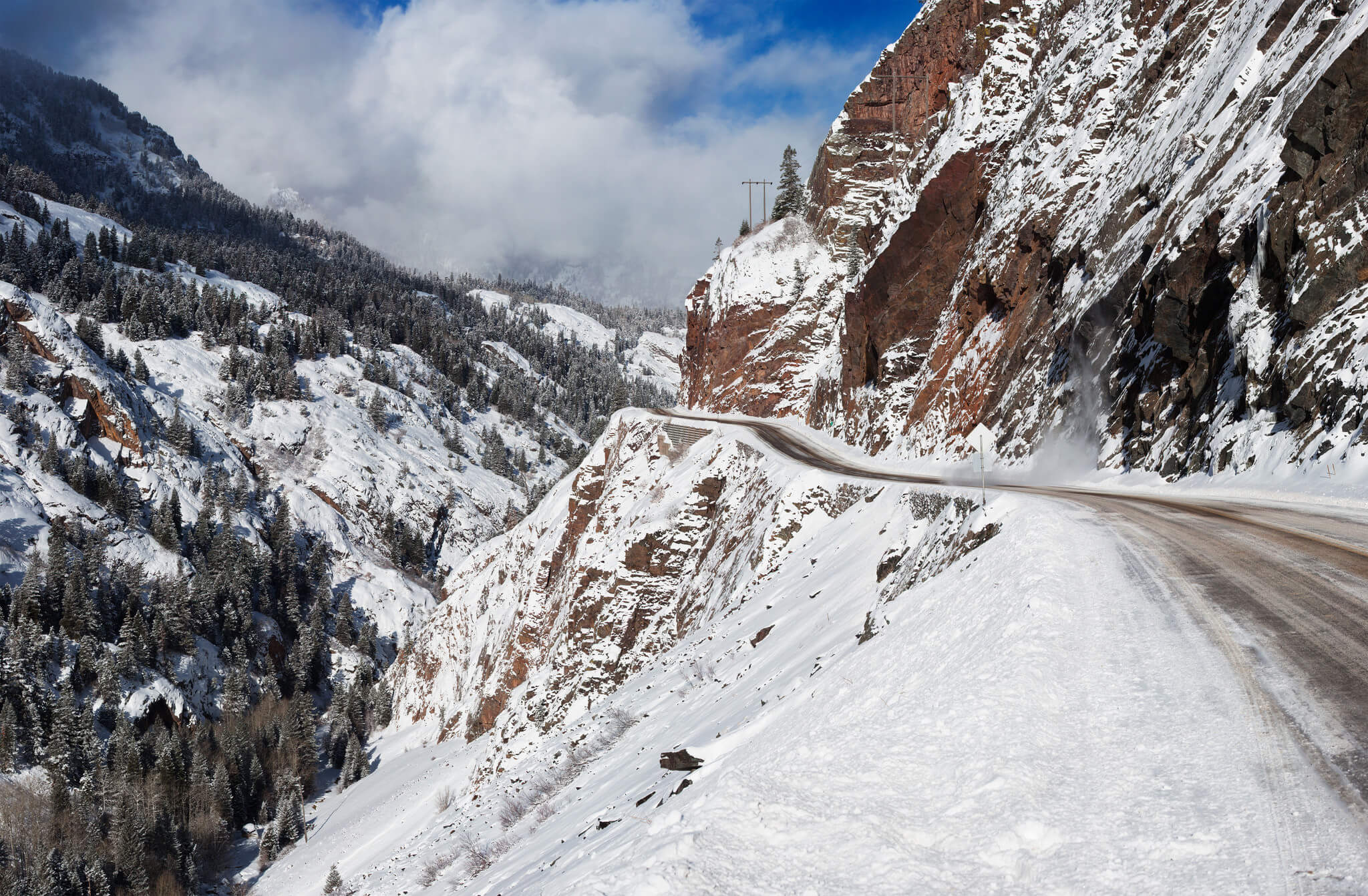
Calling something the “most dangerous ski road” is obviously a little subjective, so we came up with our own highly Local Freshies® scientific formula. Translation? We threw a bunch of sketchy mountain road ingredients into the pot, stirred vigorously and saw what came out.
We looked at:
Switchbacks. We weighted this one heavier than the rest. Mt. Rose Highway clocks in at 29 switchbacks and Red Mountain Pass at 27. That’s a LOT of opportunities for things to get spicy when the road is covered in snow.
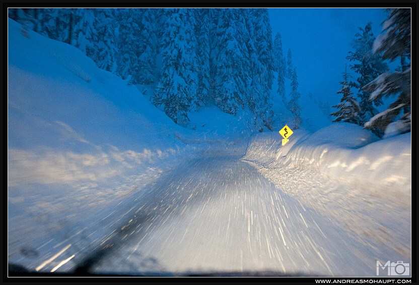
Season snowfall. The more snow falling on a mountain road, the more opportunities for slippery conditions, poor visibility and general winter driving mayhem.
Average grade. A continuous climb or descent can be brutal when traction disappears. Big Cottonwood Canyon has the steepest average grade in our group at just over 5.8%.
Maximum grade. How steep does it get at its worst? Both Big Cottonwood Canyon and Teton Pass have sections around 10% or steeper.
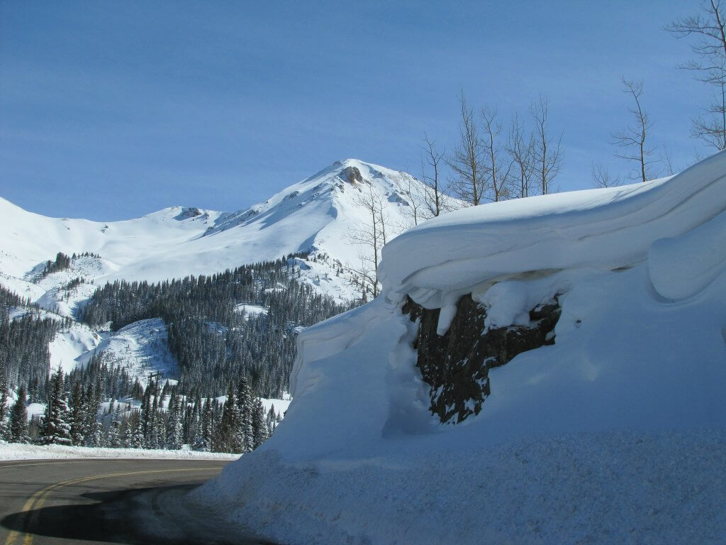
Elevation gain. Conditions can change dramatically as you climb. Big Cottonwood Canyon gains roughly 4,900 vertical feet from bottom to top.
Road length. White knuckling it for two miles is one thing. Doing it for 49 is another. Rogers Pass was the longest road we looked at.
Summit elevation. Higher generally means colder, snowier, and longer winters. The Colorado passes in our comparison climb to nearly 11,000 feet.
Other hazards. Guardrails, shoulders, avalanche paths, crash history, and anything else that makes you wonder why anyone thought building a road there was a good idea.
Then we mashed it all together using our patent pending, absolutely not peer reviewed Local Freshies® danger per mile formula to come up with the completely unofficial ranking below.
#5 – Mt. Baker Highway, WA
Ski Resort: Mt. Baker Ski Resort
The Facts:
Switchbacks – 21
Annual Snowfall – 688″
Elevation Gain – 3,394′
Length – 21 mi
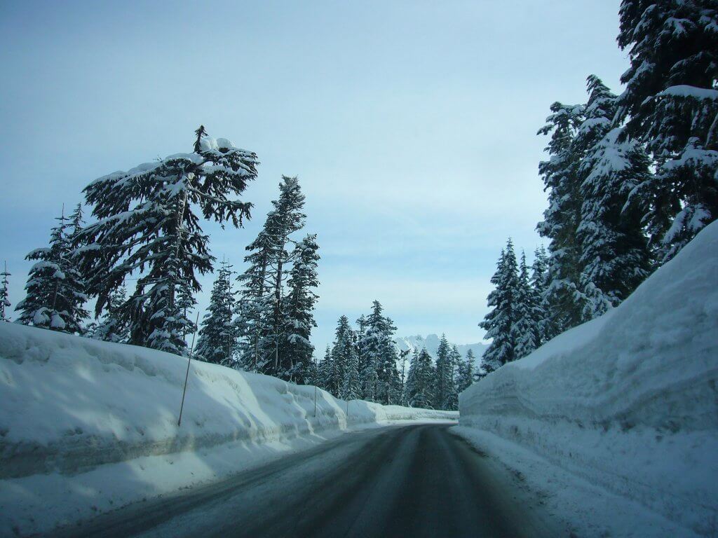
Starting out at nearly sea level, Mt. Baker Highway climbs quickly into one of the snowiest places you can drive to ski in North America. Mt. Baker averages a whopping 688 inches of snow, and once held the world record after receiving an almost unimaginable 1,140 inches during the 1998/99 season.
The road itself isn’t exceptionally steep, but combine 21 switchbacks with massive snowfall and rapidly changing winter conditions, and things can get interesting VERY quickly. Mt. Baker Highway definitely earned its spot in our top five.
#4 – Teton Pass, WY (tie)
Ski Resort: Grand Targhee
The Facts:
Switchbacks – 12
Maximum Grade – 10%
Average Grade – 5%
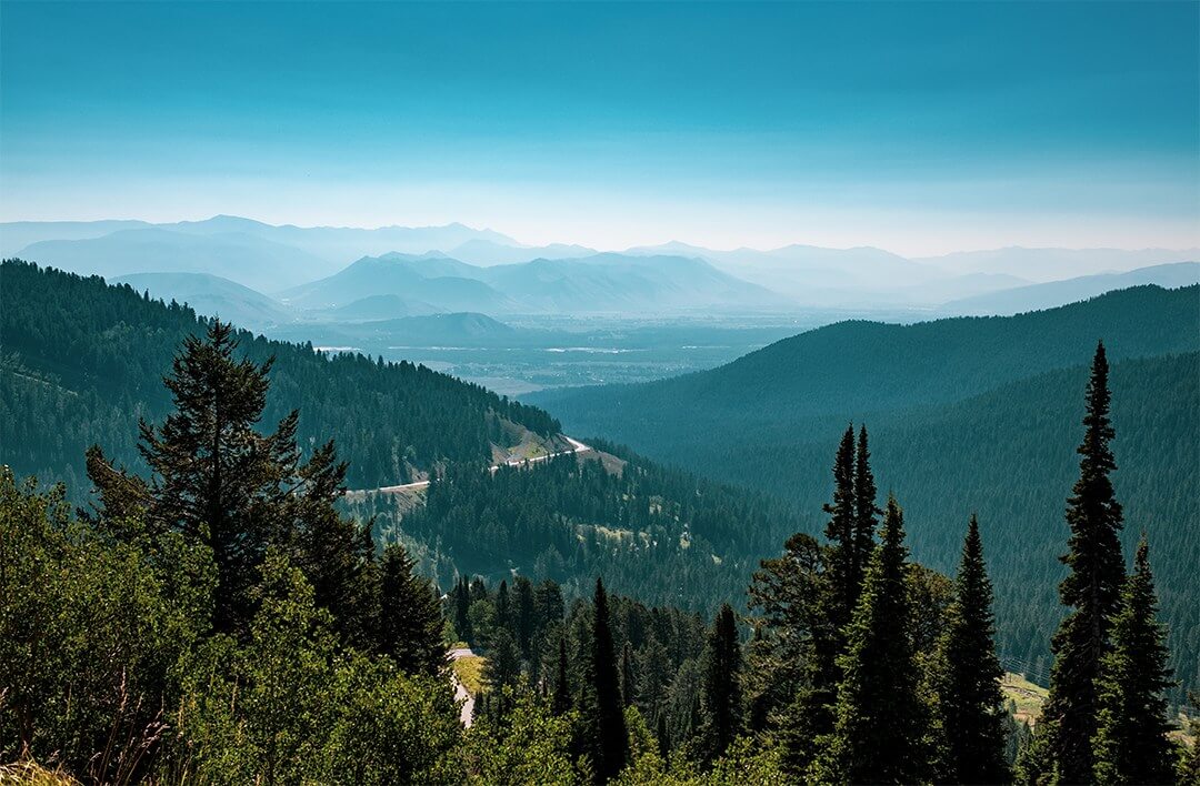
Teton Pass doesn’t have nearly as many switchbacks as some of the roads on this list, but don’t let that fool you. Highway 22 climbs continuously and hits grades around 10%, all while crossing one of the snowiest mountain corridors in Wyoming. When we drove it, one thing that really stuck with us was the roadside warning that the pass could close overnight for snow removal and winter operations. That tells you pretty quickly this isn’t your average commute to the lifts.
And just to reinforce how serious this mountain corridor can be, a section of the highway completely collapsed in June 2024, severing the road until WYDOT built a temporary detour just three weeks later. The collapse wasn’t caused by winter weather, but combine steep grades, huge snowfall, avalanche terrain and the possibility of closures, and #4 still feels VERY appropriate.
#4 – Carson Spur, CA (tie)
Ski Resort: Kirkwood
The Facts:
Switchbacks – 20
Annual Snowfall – 354″
Elevation Gain – 5,381′
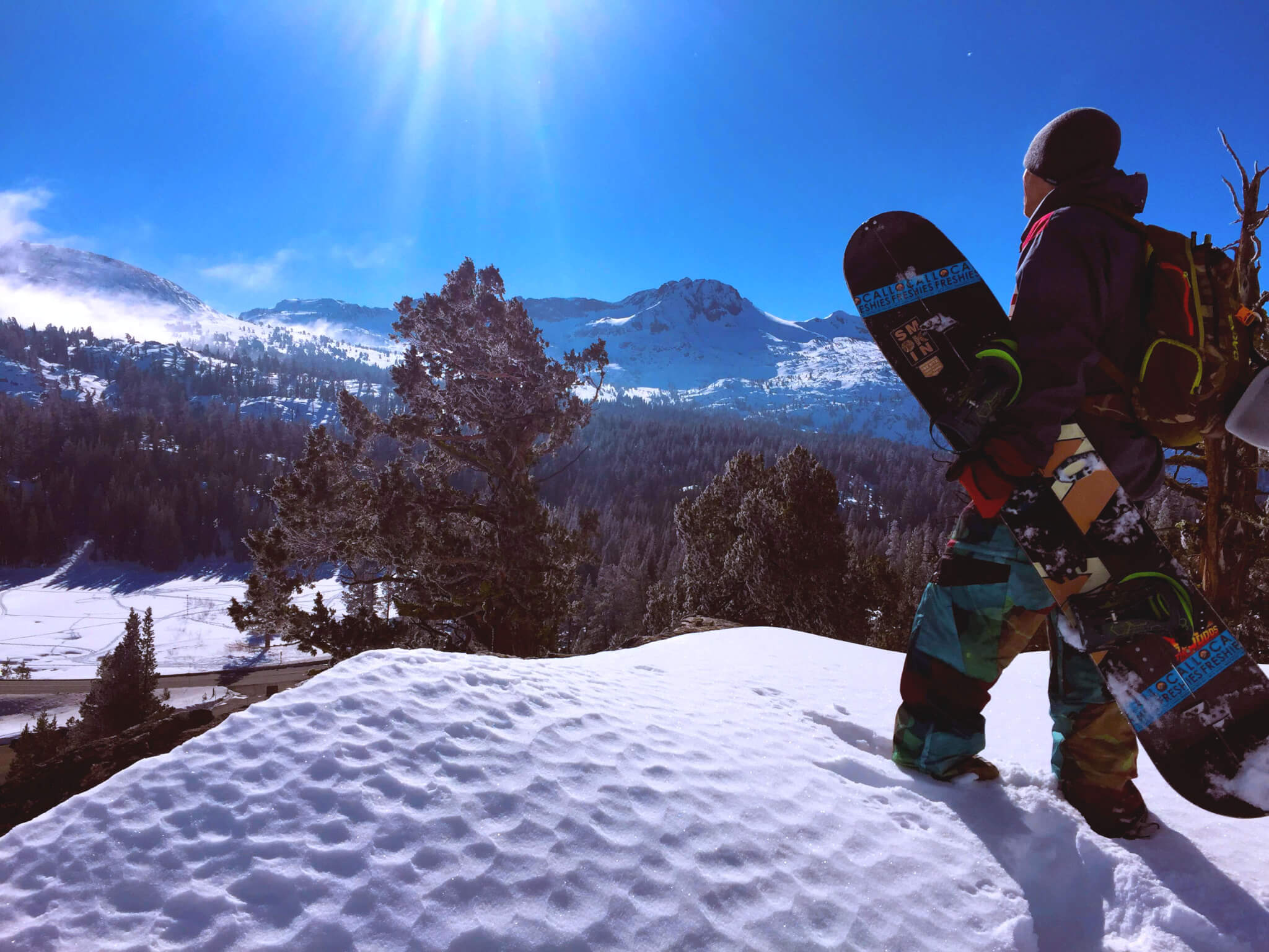
For anyone who has driven Highway 88 to Kirkwood during a storm, you know this road can be a beast. We learned that firsthand years ago while chasing a storm that dumped nearly 50 inches on Kirkwood over a few days. Highway 88 was initially closed for avalanche control, reopened, and then after making it through chain control, we came to a dead stop because of multiple accidents farther up the road. By the time we turned around, the backup stretched for roughly three miles.
So yeah, we’ve experienced this one. And there’s a reason. Caltrans calls Carson Pass and Carson Spur one of the most active avalanche zones above a highway in North America, using everything from Gazex avalanche cannons to hand charges and artillery to keep Highway 88 moving. In 2026, Caltrans even began replacing 12 Gazex cannons along Carson Pass and Carson Spur as part of a major avalanche control rehabilitation project. When the Sierra gets hammered, the drive to Kirkwood can become an adventure before you ever reach the lifts.
#3 – Big Cottonwood Canyon, UT
Ski Resorts: Brighton and Solitude
The Facts:
Annual Snowfall – 500″
Max Grade – 10%
Average Grade – 5.8%
Elevation Gain – 4,900′
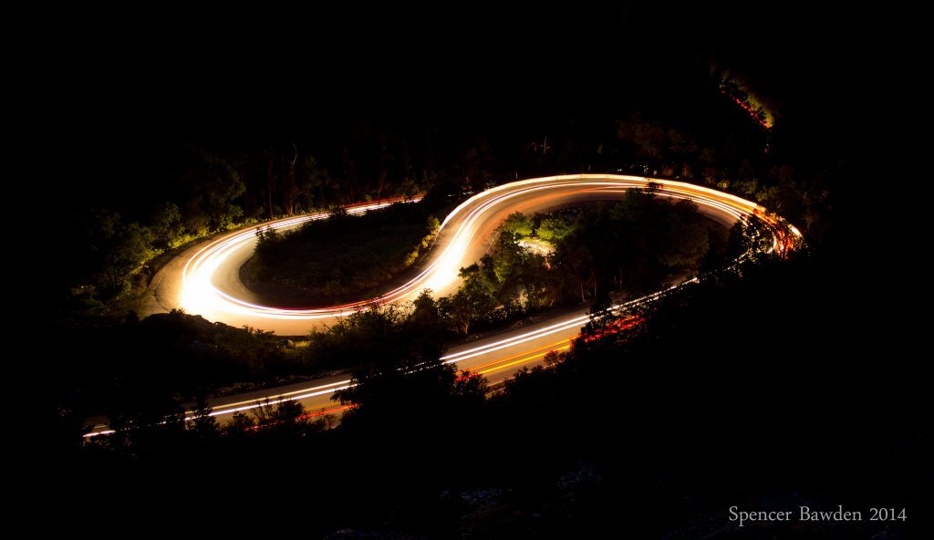
This one was a total surprise when we first crunched the numbers, but once you stack everything together, #3 makes a lot of sense. Big Cottonwood Canyon climbs nearly 4,900 vertical feet, reaches grades around 10% and ends at Brighton, where an average winter brings about 500 inches of snow. And Utah clearly takes winter driving in the Cottonwoods seriously. UDOT recently created stricter Class 3 traction requirements for Big and Little Cottonwood Canyons, including at least 5/32 inch of tire tread when restrictions are in effect, and those restrictions can now be activated before a storm even arrives. Add avalanche mitigation and the occasional full road closure to all that climbing and snowfall, and Big Cottonwood Canyon definitely isn’t a road to take lightly.
#2 – Mt. Rose Highway, NV
Ski Resort: Mt. Rose Ski Resort
The Facts:
Switchbacks – 29
Max Grade – 9%
Average Grade – 5%
Elevation Gain – 4,387′
Summit Elevation – 8,911′
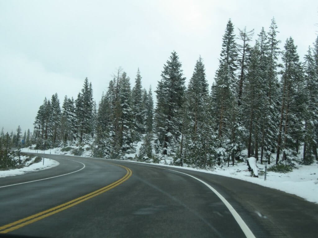
Mt. Rose Highway wastes very little time getting serious. From Reno, Route 431 climbs more than 4,000 vertical feet, twists through 29 switchbacks and eventually crosses Mt. Rose Summit at 8,911 feet, the highest year round pass in the Sierra Nevada. When winter really kicks in, NDOT can require chains or AWD / 4WD with snow tires on Highway 431, and crews even use controlled avalanche mitigation near the summit to keep the road safe. During one monster storm cycle, crews battled as much as nine feet of snow and 100 mph ridge top winds while trying to reopen the highway. Throw all of that together and Mt. Rose Highway makes a pretty convincing case for #2.
#1 – Red Mountain Pass, CO
Ski Resort: Silverton
The Facts:
Switchbacks – 27
Max Grade – 8%
Elevation Gain – 4,100′
Summit Elevation – 11,018′
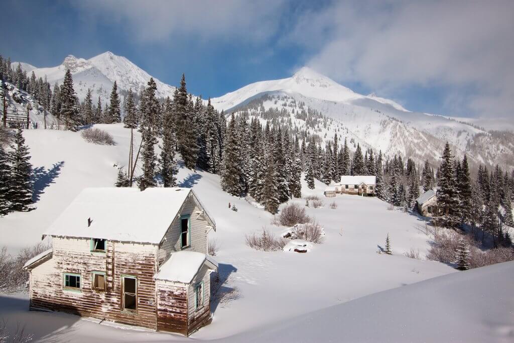
Red Mountain Pass is where this list starts getting a little ridiculous. US 550, better known as the Million Dollar Highway, climbs to 11,018 feet with 27 switchbacks, grades reaching around 8%, long stretches carved directly into the mountainside and plenty of places with no guardrails between you and a VERY long way down. Heading south toward Silverton can put you in the outside lane right along that exposure, and winter adds another level with numerous avalanche paths hanging above the highway. CDOT takes that threat seriously enough that it installed remote avalanche control systems at three major slide paths near the summit, allowing crews to trigger avalanches without putting workers directly beneath them. Throw in 4,100 feet of climbing, huge San Juan winter storms and some serious exposure, and there’s still no question in our minds. Red Mountain Pass keeps the #1 spot.
Any Others Measure Up?
Think your local mountain pass is sketchier? The roads above were only part of what we looked at. We actually ran quite a few, and some came VERY close. Here’s how all 12 stacked up:

Still think we missed one? Let us know which mountain pass or ski highway deserves a spot. If enough people call us out, we may have to throw it into the formula and see what happens.