If you’ve been watching snow reports across much of the Western US, you’ve probably noticed it’s been a slow start to winter. Meanwhile, on the other side of the country, it’s a totally different story. They’re in the middle of one of the best early seasons in years, and it just keeps snowing. So, what’s going on? As with most weather questions, there’s no simple answer. But one possible culprit is something called a Greenland Block pattern. Big caveat here. We’re not professional meteorologists. We’re more like sports fans on the couch, overanalyzing the stats while we wait for the next storm to roll in and to give you some hope.
What’s the Greenland Block?
The Greenland Block happens when a large high-pressure zone parks over Greenland, blocking weather systems from passing through. This forces the jet stream, the path storms usually follow, to dip south over eastern North America. That opens the door for Arctic air to pour down, which is great news for East Coast powder seekers.
This pattern shows up as the negative phase of the North Atlantic Oscillation, or NAO.
How does it Affect the Western US?
 While the research is still ongoing, there’s a general pattern worth noting. When a negative North Atlantic Oscillation shows up, it often pairs with a positive Pacific North American pattern, or PNA.
A positive PNA usually means warmer and drier weather for the US West Coast. That’s because it’s linked to a strong ridge of high pressure over the region, which acts like a wall and blocks incoming storms.
Blocking + Weak La Niña = Volatile Cocktail
While a -NAO pattern is fairly common, one that sticks around this long is a bit more unusual. The good news? These blocking patterns don’t hang on for months like ENSO events (El Niño or La Niña). Instead, they typically last a few weeks.
But what happens when a weak to moderate La Niña lines up with persistent Greenland blocking? When these two combine, the odds tilt toward colder, snowier-than-average conditions across parts of the northern and eastern United States. And the West Coast tends to be drier and warmer.
For the West Coast, there’s some good news: no two events are exactly the same, and plenty of other factors can drive big swings in outcomes. Take the 2022/23 season, for example. It featured a weak La Niña with persistent Greenland blocking, and the West Coast was hammered with snow starting as early as October.
A Look at 2017/18 Season
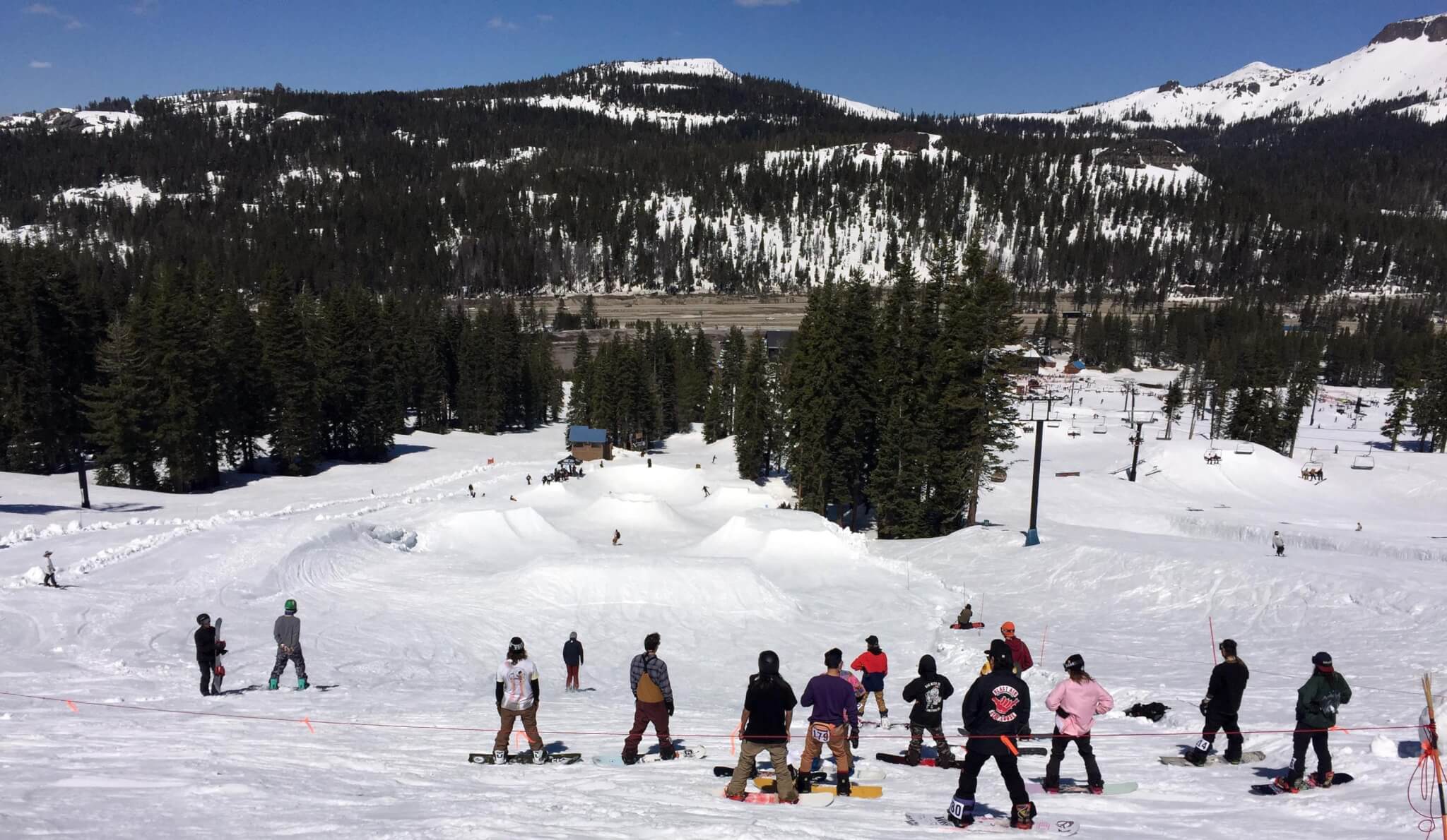
This season’s beginning, however, looks more similar to 2017/18—so let’s rewind and see how that winter played out. The picture below shows that regardless of how BAD the winter starts, it’s how you finish.

California
California had a slow, elevation dependent start to the season, with early storms favoring terrain above 8,000 feet and long stretches of warm, dry weather limiting base building through February. Conditions improved gradually with January and February storms, but it wasn’t until a “Miracle March” with multiple 4 to 7 foot Sierra snow events that resorts finally reached near full operations, leading to solid spring skiing at higher elevations despite earlier struggles. Southern California and Arizona largely missed these storms and endured very poor seasons reliant on manmade snow.
Pacific Northwest
Early season rain limited progress at lower elevations and the snow that did exist got battered with heavy rain during Thanksgiving week. Although not as prevalent as California’s high elevation snows, Whistler’s alpine was blessed with a deep snowpack. Heavy snow in late December and again in late January produced some of the deepest snowpacks in North America, with Whistler and Mt Baker standing out. After a brief warm, rainy setback in early February, colder storms returned, and steady snowfall through March and April maintained strong conditions across the region.
Canadian & Northern Rockies
Western Canada and the Interior Northwest enjoyed a strong and consistent season, with heavy snowfall beginning in late October, brief rain interruptions around Thanksgiving, and steady late November and December storms that built 3 to 5 foot bases and made the Powder Highway, Lake Louise, and Grand Targhee regions standouts entering the new year. Powerful Northwest storm cycles in late January boosted base depths to 6 to 8 feet, and frequent snowfall through February and March maintained excellent conditions despite occasional low elevation rain near the U.S. border and cold snaps. While Sun Valley remained a notable dry outlier, most areas across the Tetons, Montana, and western Canada stayed near full operation through winter, with additional March and April snowfall allowing Banff, Montana, and Wyoming resorts to hold onto winter-like skiing well into spring.
Utah & Colorado (I-70 Corridor and north)
Both faced slow starts to the season, with minimal October snowfall and limited November storms keeping early skiing mostly on snowmaking. Periodic December and January storms added snow, particularly in Utah’s Cottonwood Canyons and along Colorado’s I 70 corridor, but coverage remained below normal, leaving early season totals among the lowest on record. Conditions improved in late February and March as stronger storms expanded terrain and pushed most resorts toward full operation, and heavy, high water content snowfall in April boosted snowpacks further, allowing higher elevation terrain to open fully and extending the season well into spring.
Southern Colorado / New Mexico
Faced the harshest conditions, with record dryness persisting into early January and severely limiting terrain openings. While February storms helped improve coverage, especially at Wolf Creek and Aspen Snowmass, bases remained shallow, keeping many steep and expert areas closed for much of the season. New Mexico endured its worst ski season on record, with minimal snowfall before mid February, and despite brief late season improvements, most areas closed shortly after Easter.
Northeast
Killington opened on November 8th after a warm, rainy October delayed natural snow, with terrain gradually expanding on snowmaking through Thanksgiving. By mid December, northern Vermont had 3 feet of snow and the rest of the region about 2 feet, setting up a strong holiday season despite bitter cold, which continued into early January. Late January saw rain and a hard freeze, limiting trails, but early February snowfall improved conditions before mid and late February thaws again reduced coverage. Four March Nor’easters brought 5 to 6 feet of snow, creating the season’s best skiing, and trail counts remained above average through April, with Killington operating on May weekends.