


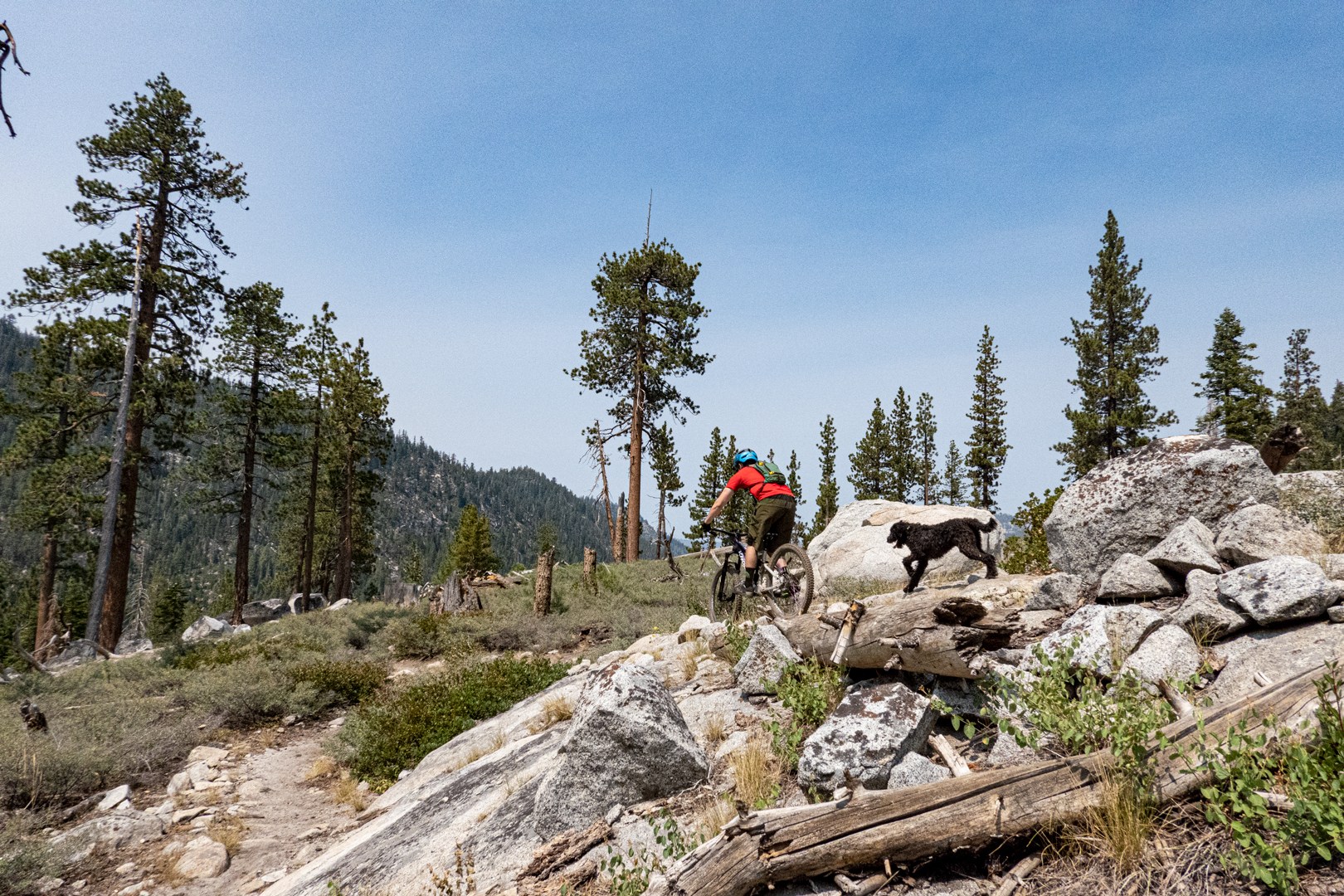
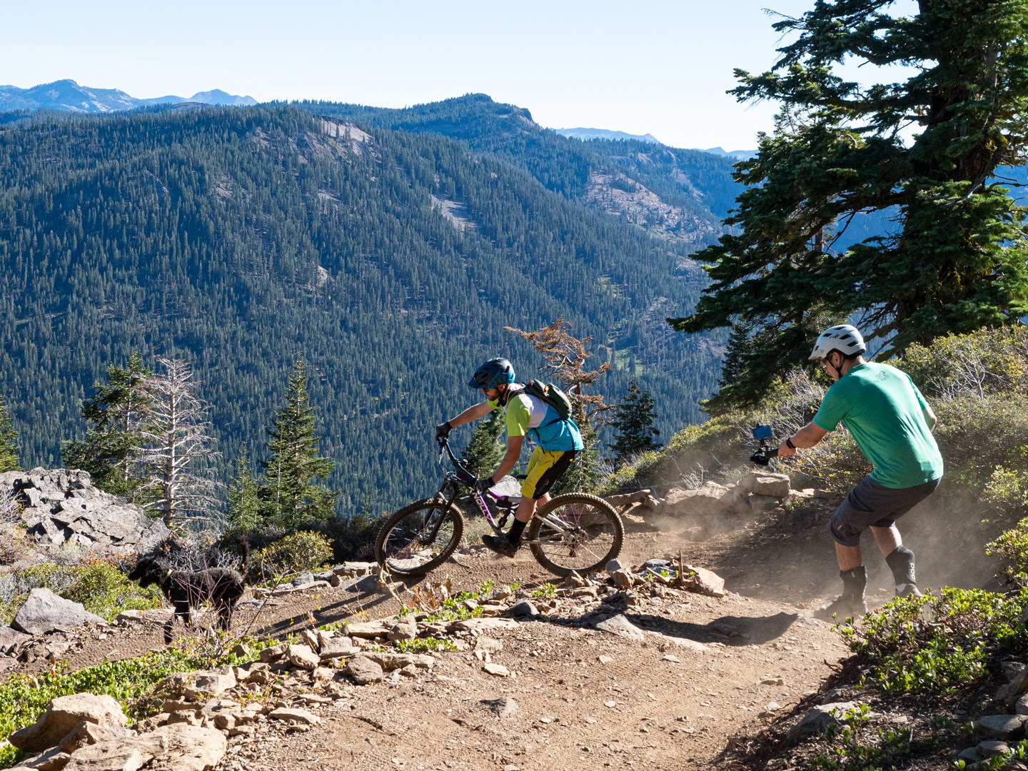
In the winter, folks congregate in the mountains schussing the slopes of resorts likes Kirkwood, Sierra-at-Tahoe, and Alpine Meadows. In the summer, most individuals end up migrating to the legendary beaches and pristine waters of Lake Tahoe. For those that love fun of the two-wheeled variety, want to get away from the crowds, or just looking to spice up their vacation adventure, look no further than the world class mountain bike trails located in the forests & peaks surrounding the Tahoe Basin. To help, we’ve created the following Lake Tahoe Mountain Biking Trail Guide to give you a taste of what’s available to shred (of the dirt kind).
Caldor Fire
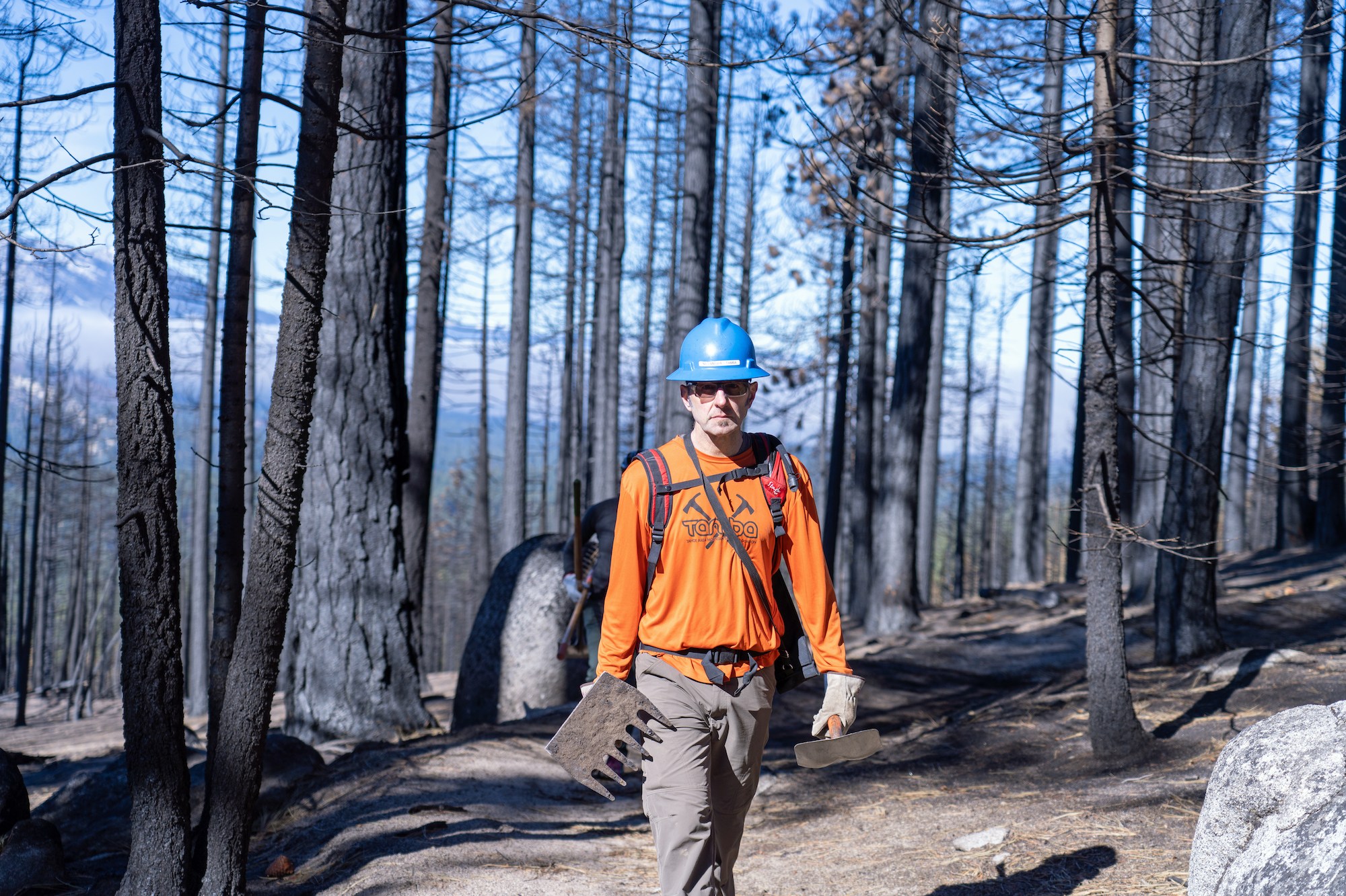
If you didn’t know, summer 2021 was a brutal one for the south shore of Lake Tahoe. The Caldor Fire which started near Pollock Pines quickly made its way up and over Echo Summit and raged through an area of Lake Tahoe containing some of the region’s favorite mountain bike trails. It burned many parts of trails. Turned some bridges into ash and completely obliterated infrastructure. TAMBA has done a great job on getting all of our trails open, but there are plenty of dead trees out there so be careful.
South Tahoe Mountain Bike Trails
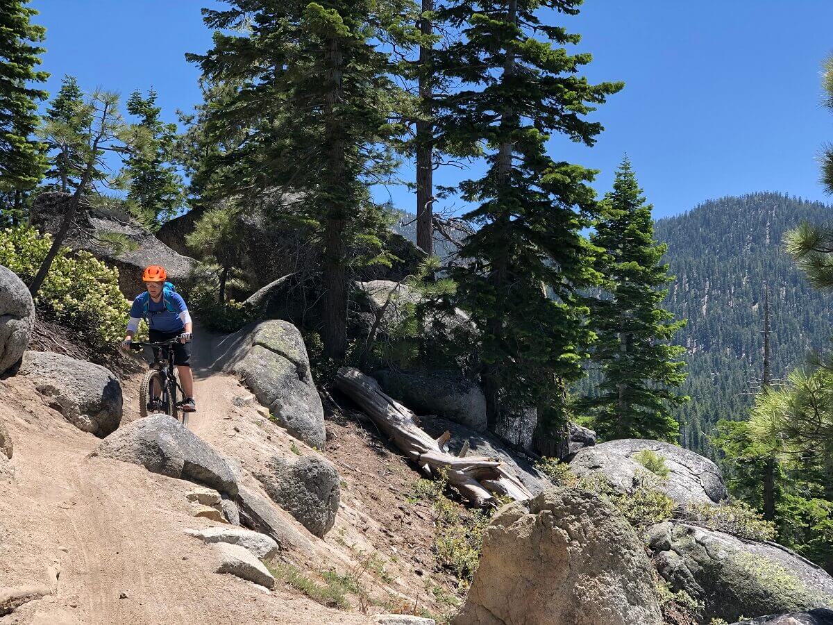
On the south shore of Lake Tahoe lies the region’s most iconic expert trail: Mr. Toad’s Wild Ride. Alongside this jewel of the Sierra the south shore has hundreds of more miles of trail to explore. If you’re hungry for more trail recommendations beyond what we’ve listed below, dive into our article: Our 9 Favorite MTN Bike Trails In South Lake Tahoe & Why
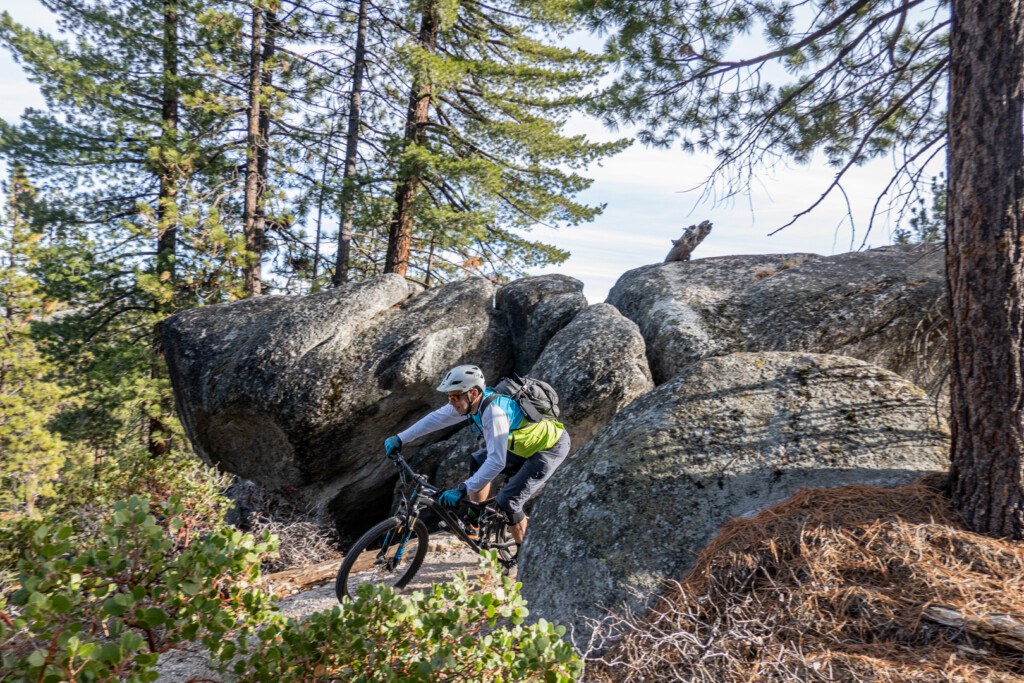
Mr. Toad’s Wild Ride (Saxon Creek)
Length: 8.9 miles (1,300’ elevation gain) with shuttle or 20-mile loop (3,000’ + elevation gain)
Difficulty: Expert

Sadly, out of all the trails Toad’s got hit worst. In 2022, TAMBA was hard at work re-building the infrastructure to allow users to once again test their abilities. With that being said, we couldn’t start this list without calling out THE trail that put Lake Tahoe mountain biking on the map. Rough, rugged, and relentless, this downhill trail is littered with rock gardens, drops, and one-of-a kind features like the “the steps.” For those wondering what it’s REALLY like, be sure to read our personal experience of hitting Mr. Toad’s Wild Ride.
Directions
Shuttle Route: From Meyers, drive up Highway 89 to Big Meadow trailhead or continue further to the Tahoe Rim Trail (TRT) trailhead which is part of the longer Pacific Crest Trail. Note: Even with the shuttle, there’s over 1,300’+ vertical feet of climbing and a few walk-a-bike sections.
Loop: From South Lake Tahoe, head south on Pioneer Trail and make a left onto Oneidas. Continue onto Fountain Place and park in the dirt parking lot on the right. Ride up the paved road to Armstrong Trail which will connect you to the summit of Mr. Toad’s. DO NOT ascend Mr. Toad’s.
Christmas Valley
Length: 4 miles downhill with partial shuttle or a loop (8.39 miles 1575’ elevation gain)
Difficulty: Expert
Miraculously, the Caldor Fire somehow leap from one side of the valley to the other pretty much missing it. This is a good alternative to Toad’s Wild Ride until it re-opens. Some call this ride the “Mini Toads” due to its technical rocky features but on a much smaller scale. Named after the neighborhood it parallels, the route begins with some flowy segments quickly transitioning to frequent stairs, tight turns, and plenty of rock gardens. The canopy opens up about halfway down providing views of Highway 50 as it climbs over Echo Summit.
Directions
From South Lake Tahoe, head south on Pioneer Trail towards Meyers. For those adventurous enough, you can attempt to climb it by making a right onto South Upper Truckee Rd for the lower trailhead and the terminus of the route. This is also where you can leave a car if you want to shuttle it or do it via a loop. To cut off some of the most grueling climbing, we recommend heading up SR-89 and parking a car at the Big Meadow Trailhead. From here, you’ll hop on your bike and cross SR-89 following the TRT via Big Meadow upwards.
Lily Lake
Length: 2.1 miles (with various loop options)
Difficulty: Expert
The latest gem in the string of diamonds within the Lake Tahoe region. Out of any trails, this one was a beast to build for the local community. It took 4,000 hours of volunteer work with TAMBA and overcoming a $75,000 funding gap to build it. The trail features a bit of everything with expansive views of Fallen Leaf Lake off a 75-foot cliff to some of the only slickrock riding in Tahoe.
Directions
The Lily Lake trail spits you out near the Glen Alpine trailhead. This means you either pedal back up Lily or ride a pavement section. A fun way to ride a loop would be to park at the bottom of Tahoe Mountain. From there, ascend Mule Deer trail to Angora Ridge giving you access to the top of Lily Lake. Follow the asphalt and make a right onto Tahoe Mountain Road connecting you to the Deveron Connector. That gives you not one but TWO descents in the twelve-mile loop.
Corral
Length: 2.2 miles (715’ elevation descent) with shuttle or a loop (715’ + elevation gain)
Difficulty: Intermediate/Expert
The beating heart of the south shore mountain biking scene. Not just one trail but a network of ones to choose from. The upper segment of the Corral trail features a challenging garden for advanced riders to pick apart. For intermediates or those wanting to keep it a bit more mellow, hit Sidewinder instead. As the name entails, Sidewinder features A LOT of banked turns, so be ready to work on your turn game. Both routes take you through the bottom half of Corral which features a host of jumps and banked turns that you’d find in a bike park.
Note: In the summer months, be aware that it can get quite crowded especially once they open up the road to allow easy shuttle options. Either go early (dawn) or at dusk mid-week to avoid the masses.
Directions
From South Lake Tahoe, head south on Pioneer Trail and make a left onto Oneidas. If the first gate is closed, park there and ride up onto Fountain Place. You will continue following the narrow-paved road approximately 2.5 miles to the first parking lot which is the top of Corral. Note: Road continues up to Armstrong Connector. See below about Armstrong Connector.
Armstrong Connector
Length: 1.9 miles (additional 643’ elevation descent) with shuttle or a loop (643’ + elevation gain)
Difficulty: Expert
If you’ve got the time and/or energy, Armstrong Connector is a great add-on to make your descent nearly twice as long. As the name dictates, this connects the Armstrong Pass trail to the Corral mountain bike trail system. This trail has a great assortment of challenges to keep the experts on their toes and walked if you’re an intermediate. The best part though – it’s home to our favorite view in all of Tahoe. There’s a sandy left turn that opens up to views of Mt. Tallac and even a slice of Tahoe. Is it the best? Probably not, but the memory behind it is what makes it so special.
Directions
In addition to the directions above regarding Corral, continue shuttling or pedaling up the paved path for another 1.5 miles. Note, if the 1st ascent was tough, the second is brutal. It’s consistently steep without a bit of respite.
Tahoe Mountain Loop
Length: 7.53 miles (1,076’ elevation gain)
Difficulty: Intermediate

We know what you’re thinking… Tahoe Mountain? Yup, the small mountain that’s just past the “Y” in South Lake Tahoe is called Tahoe Mountain. Home to a great network of trails, this is a good option for spring when the higher elevation terrain is still buried with feet of snow. The most difficult part is the moderate difficulty climb to the top. Once you reach the ridgeline, all the hard work is worth it. With views of Mt. Tallac, Lake Tahoe, and the Angora burn area, the payoff is amazing.
Directions
There are a few different spots to park but a good one to start is to take Lake Tahoe Boulevard past the “Y.” Park where Sawmill Pond and Lake Tahoe Boulevard Bike Path intersect. From here, take the path until you hit the first dirt trail and begin the climb up, following the signs of the Tahoe Mountain Trail.
Tip: In the summer due to the open terrain, it’s good to ride this section earlier in the day.
Powerline
Length: 6.5 miles
Difficulty: Beginner

First time on a bike? Then look no further than the Powerline Trail. This trail offers a taste of what mountain biking is all about without putting you over your head. Featuring seasonal creek crossings, easy banked turns, a few gradual climbs, and throw in some scenic vistas, you got yourself the perfect recipe to get hooked on the sport.
Directions
Being a commuter trail, you can literally hop on this trail from anywhere but most either head to the start or finish of the trail. The first and most popular is to head to the top of Ski Run Blvd and take a right onto Saddle Road where it dead ends & the trail begins. The other option is to access it via High Meadows Road off of Pioneer Trail. Generally, this trailhead offers a lot more parking. Follow the asphalt until it ends and park there or continue another mile up the forest access road to the terminal parking lot. The trail starts north out of the parking area.
North Tahoe Mountain Bike Trails
Tyrolean Downhill
Length: 3 Miles (shuttle)
Difficulty: Expert

As the name states, this is a true downhill ride descending over 2,000 feet. Filled with jumps, berms, rock gardens and a few sandy sections, it’s a challenging ride even though riders on MTB Project rate it as Intermediate. This might be due to the fact that most of the difficult features can be avoided. The trail ends near Diamond Peak Resort making for a perfect shuttle option.
Note: The TRT section between Hwy 431 and Tunnel Creek Rd is open to mountain bikes only on even days. If you’re there on an odd day, you can access it from Mt. Rose Hwy & old parallel jeep road to avoid the TRT bike restrictions.
Directions
Once you have a car parked at Diamond Peak Ski Resort, head up Mt. Rose Highway (NV-431) to the Tahoe Meadows Trailhead. From the Mt. Rose Tahoe Rim Trailhead, head south for approximately one mile. Tyrolean Downhill will drop from the first prominent vista.
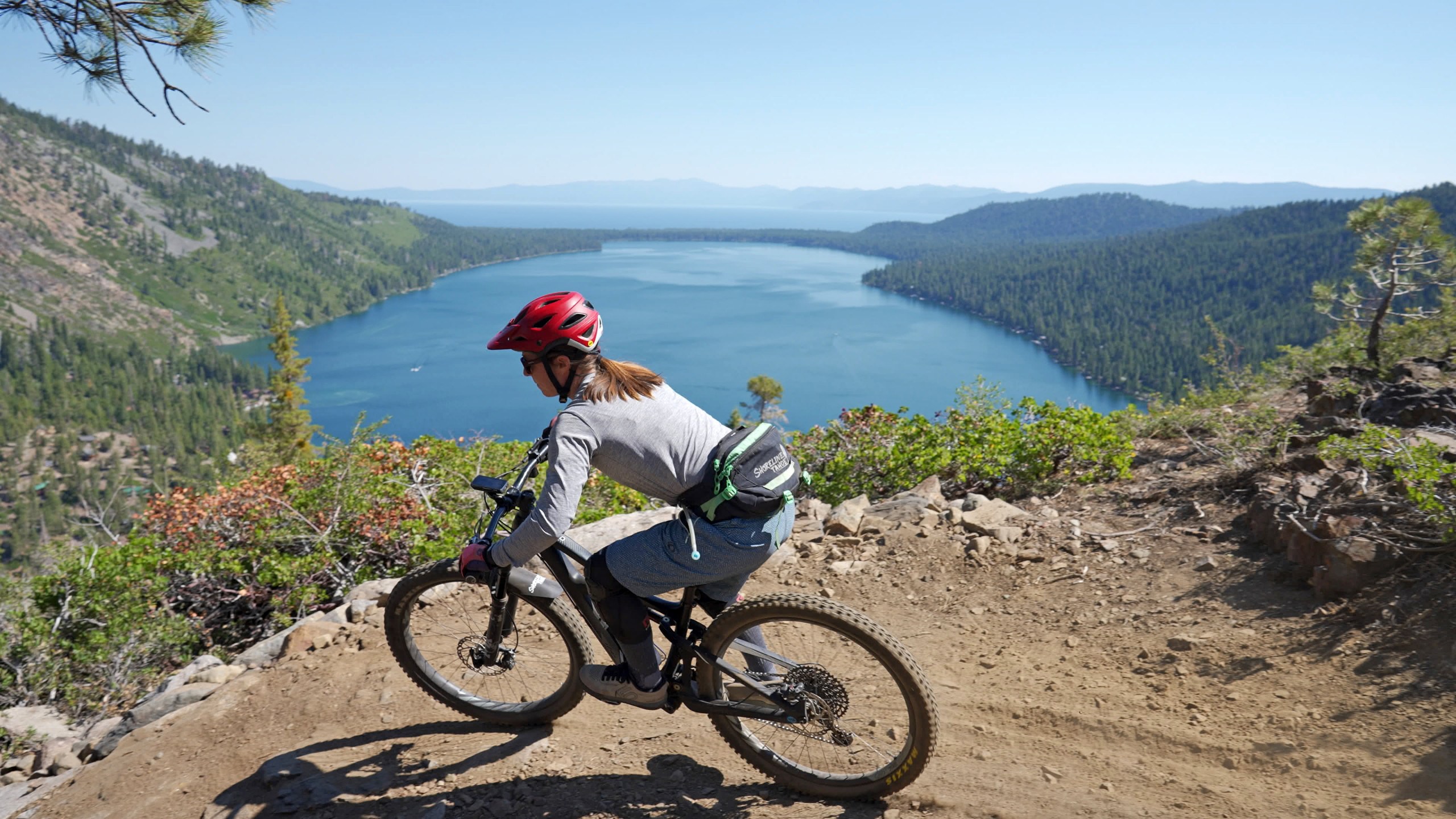
The Flume
Length: 14 miles (shuttle with 1,000’+ elevation gain)
Difficult: Intermediate
 When it comes to scenery and views, every other trail pales in comparison to the world-renowned Flume trail. Located high above the eastern shore, words cannot express how majestic the sights are. The reason why it’s designated Intermediate is less from the downhill but rather that the first four miles feature a consistent 1,000’ climb. For those wondering what to expect, be sure to read our personal experience of riding the Flume Trail. Besides the bird’s eye views of Sand Harbor, be sure to set aside some extra time to check out Marlette Lake, and for those brave souls, even take a dip.
Note: For those with a fear of heights, be forewarned some of the sections of singletrack are over 1,500’ above the lake.
Stanford Rock
Length: 5 Miles one-way (1,756 elevation gain)
Difficulty: Intermediate
Those living or staying on the West Shore of Lake Tahoe have to be ecstatic on the newly refreshed Stanford Rock trail. What was an old logging road has been molded, sculpted, and created into some flowy goodness by TAMBA. To make it into a loop, we recommend enjoying your hard work of ascending by descending it as well. What starts in a deep forested canopy quickly gives way to jaw-dropping vistas of Lake Tahoe as well as Homewood Mountain Resort. The best part is the higher you climb, the better the views.
Directions
There are a few different ways to access this trail but we recommend picking one that’s on the other side of Ward Creek so you can keep your feet dry. From Tahoe City, take Highway 89 south and make a right onto Timberland Lane and find parking near the playground. Hop on the mellow Ward Creek Connector singletrack and follow it over to the start of the Stanford Trail.
Overland Emigrant
Length: 15 Miles one-way (829 elevation gain)
Difficulty: Beginner

You could technically call this the North shore’s Powerline. Compared to most of the other trails in the Tahoe & Truckee region, there isn’t an hour-long climb to get onto this. And, it’s an honest singletrack trail. Like any great recipe, it has a dash of climbing, a sprinkling of swoopy turns, and a pinch of log rides & rails to keep you entertained. It’s also served up with a nice dollop of scenery featuring meadows, wildflowers, and even a cozy lake to chill out by. While not the biggest or toughest by any stretch, it’s what you call a fun ride.
Directions
There’s a host of places you can pick up the trail, but most start out at Donner Camp Parking lot because it gives you access to this trail and the entire Tahoe-Donner trail system. From Truckee, take Donner Pass Road east until you hit CA-89. Take CA-89 north about 2.3 miles. The Donner Party Picnic area is on your right.
Antone Meadows Loop
Length: 8.5 Miles (282 elevation gain)
Difficulty: Beginner
For those that enjoy wildflowers and want to experience the peace and beauty of nature, look no further than the Antone Meadows Loop. This well maintained relatively flat route starts with a gradual climb transitioning into a downhill cruise through a grassy meadow. Featuring bridges at all the creek crossings and many optional side routes, it’s a great choice for families to get some ride time together.
Directions
From Carnelian Bay, take Highway 89 south and make a right onto Fabian Way. Take the first right (Village Road) and make a left onto Country Club Drive, parking at the Tahoe Cross Country Ski Area.
Northstar Bike Park
Difficulty: All Levels

While technically not a bike trail, we have to give a shout out to the only lift-accessed biking in the Tahoe Basin for now (Kirkwood shut theirs down back in summer 2019). Northstar is Northern California’s largest bike park featuring two lifts and a network that will keep every skill level content. If you aren’t into lift-accessed or just want to mix it up, they also offer cross-country goodness to go along with their downhill fun in their 50-mile network. Lastly, if it’s dusty (which happens a lot in late summer/early fall), Northstar irrigates some of their trails to help reduce the “moon dust” that happens later on in the season.
Directions
From Truckee, take Old Brockway Road and make a right onto Highway 267. Approximately 5 miles down the road you’ll make a right onto Northstar Drive.
Carson Valley
Sierra Canyon
Length: via Kingsbury North 18 miles / via Spooner Summit 16 miles (shuttle 1,600’ elevation gain)
Difficulty: Intermediate/Expert

This is a BEAST of a ride. On the surface, it sounds amazing. 4,000 vertical foot descent. Breathtaking views of Carson Valley. And at the end, you get to enjoy a pint at the OLDEST bar in Nevada. As you delve deeper though, cracks begin to form. First, this is a ROUGH ride featuring shale switchbacks for almost ¾ of the downward segments. Let’s just say your hands will be sore from all the jostling. Also, be prepared to repair cut sidewalls. With that said, this is a true adventure from top to bottom. Once you do make it to Genoa, you’ll feel like you accomplished a feat. For our personal experience of riding this trail, mosey on over to our article – I Fought The Mountain & The Mountain Won.
Directions
To ride the full length of the trail, you’ll most likely need a shuttle. There are two ways to get to the top of the Sierra Canyon Trail. For the Kingsbury North Trailhead from Stateline, take US-50 north and make a right onto Kingsbury grade. Make a left onto Benjamin Drive and follow the meandering road until it ends. From here, ascend the Tahoe Rim Trail and follow it for approximately 5 miles until it intersects with Sierra Canyon. For Spooner from Stateline, continue on US-50 until the Spooner Summit trailhead. Park on the right and take the Tahoe Rim Trail until it intersects with the Sierra Canyon Trail.
Clear Creek
Length: Up to 15 miles
Difficulty: Intermediate

Compared to its bigger brother Sierra Canyon one valley over, Clear Creek offers a smaller vertical but a more forgiving descent. Instead of shale switchbacks, you’ll find a plethora of great singletrack. Starting from the high desert to the towering pines, you’ll experience all the climate zones of the Sierra. One thing to note is in mid-summer or during a long dry spell, the bottom two miles feature virtually no shade and can get quite sandy. Due to its low starting elevation and with a few different access/exit points, we usually ride this trail in the fall or early spring.
Directions
Can be ridden as an out-and-back or a shuttle ride. For a shuttle, you have two options. Park at Golf View drive off US Highway 50 and take the Cold Creek Connector or drive up to Spooner Summit. For an out-and-back, head to the west side of Jacks Valley Elementary School and park in the large dirt parking lot. Most riders who do it as an out-and-back typically climb to what is called “Knob Point.” This makes for about a 1,350′ elevation gain ascent and a 15-mile loop.
If you enjoy the vast assortment of trails available in Lake Tahoe, consider donating to the local riding association called the Tahoe Area Mountain Biking Association (TAMBA), or better yet, volunteer on one of their many trail maintenance days.
And for more about on how to start mountain biking, get tips on gear, or find hidden vacation spots for two wheeled fun, check out our mountain biking guide:
For more adrenaline fueled adventures or relaxed getaway ideas by season in Tahoe, tips on where to stay, play, eat & more, check out our in-depth first timer’s guide:

Sierra Canyon trail is pretty awful. It’s amazing that trail with 4000 of descent isn’t fun. The Genoa bar at the bottom is nice though.
You got that right! Gorgeous views but the amount of switchbacks and baby heads… it’s a rough ride. Our good friend ended up in the ER due to that trail.
These informative emails are great. For the Mountain Bike Trail guide it would be cool if maps were attached.
Hamilton, thanks for the positive feedback that’s a great idea! Might have to put that on our “to-do” list on our next upgrade.