About this time every year, the Farmer’s Almanac and NOAA release their forecasts for the upcoming winter. Meteorological computers are getting better at identifying trends, but the long-range forecasting is still very much the “artistic” part. NOAA’s prediction takes a dose of looking into the past, a dash of ocean temperatures (El Nino versus La Nina), a heaping spoonful of other variables, and of course a brush of human “feel” to come up with their prediction. On the flip side, the Farmer’s Almanac derive their weather forecast using a secret formula that was devised by the founder back in 1792. Sure, it’s exciting to look at what they’re predicting, but how good were they last year? We take a close look to see if the Farmers Almanac winter prediction was more accurate or NOAA’s.
NOAA vs Farmer’s Almanac – 2017/2018 Winter Forecast
The Northeast
Farmer’s Almanac:
Winter will be milder than normal, on average, with above-normal precipitation and snowfall. The coldest periods will be in late December and early February. The snowiest periods will be in late November, early to mid-December, mid- to late January, and early to mid-February. April and May will be rainier than normal, with near-normal temperatures.
NOAA:
December to February there is a 40% chance of above average temperatures and equal chances of average precipitation. March through May there is 33% chance of above average temps with slightly more towards the coast and 40% chance of above average precipitation.
Winner: Tied
Reasoning: The East had a VERY consistent season compared to other parts of the country. Of course, there were a few of the classic rain/deep freeze cycles for the first half, but the snow came consistently as per the Farmers Almanac winter prediction. While NOAA predicted above average precip in March, the highlight of the East’s season were the four Nor’Easters pounding the region with 5-6 feet of snow. This also allowed record setting season closings.
Northern Rockies

Farmer’s Almanac:
Winter will be slightly colder than normal, with the coldest periods from late November into early December and in late December, mid-January, and early February. Precipitation will be slightly below normal in the north. The snowiest periods will be in early and mid- to late December, mid-January, early and mid-February, and early March. April and May will be warmer and slightly drier than normal.
NOAA:
December to February there is a 33% chance of below average temperatures especially near the Canadian border and 45% chance of above average precipitation for almost the entire region. For spring (March through May), the chance of below average temps increases to 40% again near the border and 40% chance of above-average precipitation for the entire region.
Winner: NOAA
Reasoning: The consistent winner this season was the Northern Rockies which NOAA predicted perfectly. Cold temps with a storm track over the region for almost the entire winter and spring led to banner skiing at both Whitefish and Big Sky, with Jackson being Mr. Consistent as always.
Colorado
Farmer’s Almanac:
Winter will be colder than normal, with the coldest periods from late November into early December and in late December, mid-January, and early February. Precipitation will be slightly above normal, with above-normal snowfall. The snowiest periods will be in early and mid- to late December, mid-January, early and mid-February, and early March. April and May will be warmer and slightly drier than normal.
NOAA:
From December to February there is 45% chance of above average temperatures for the southwestern two-thirds of the state and 33% probability of wetter than average precipitation for Northern Colorado and equal chances for the rest. For spring (March through May) there is 40% chance of above average temps increasing to over 50% in the southern part of the state and a 33% chance of below-average precipitation with a higher likelihood in the southern part of the state.
Winner: NOAA
Reasoning: All of Colorado had a rough start, but southern Colorado had one of the worst starts in over 40+ years due to warm temps which NOAA suggested. Even Vail had less terrain open than any New Year’s since 1980-81. While Farmer’s predicted slightly above normal precip, the snowfall wasn’t even close to that. It was so terrible for ski resorts in Southern Colorado that most terrain in steep sectors like Telluride’s Gold Hill and Crested Butte’s North Face did not even open at all.
Utah
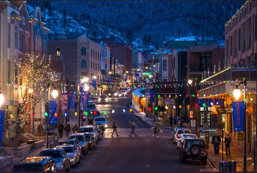
Farmer’s Almanac:
Winter will be colder than normal, with the coldest periods from late November into early December and in late December, mid-January, and early February. Precipitation will be slightly above normal, with above-normal snowfall. The snowiest periods will be in early and mid- to late December, mid-January, early and mid-February, and early March. April and May will be warmer and slightly drier than normal.
NOAA:
During mid-winter (December to February) there is a 40% chance of above average temps and a 33% chance of wetter than average precipitation for northern Utah around Salt Lake City. For spring (March to May) there’s a 40% probability of warmer than average temps and 33% chance of above average precipitation.
Winner: None
Reason: Both predicted a wetter than average winter while it was one of the worst seasons since 1980-81 for snowfall. And to make matters worse, the first week of April ended with rain at over 10,000 feet. A rarity for this part of the country.
Pacific Northwest
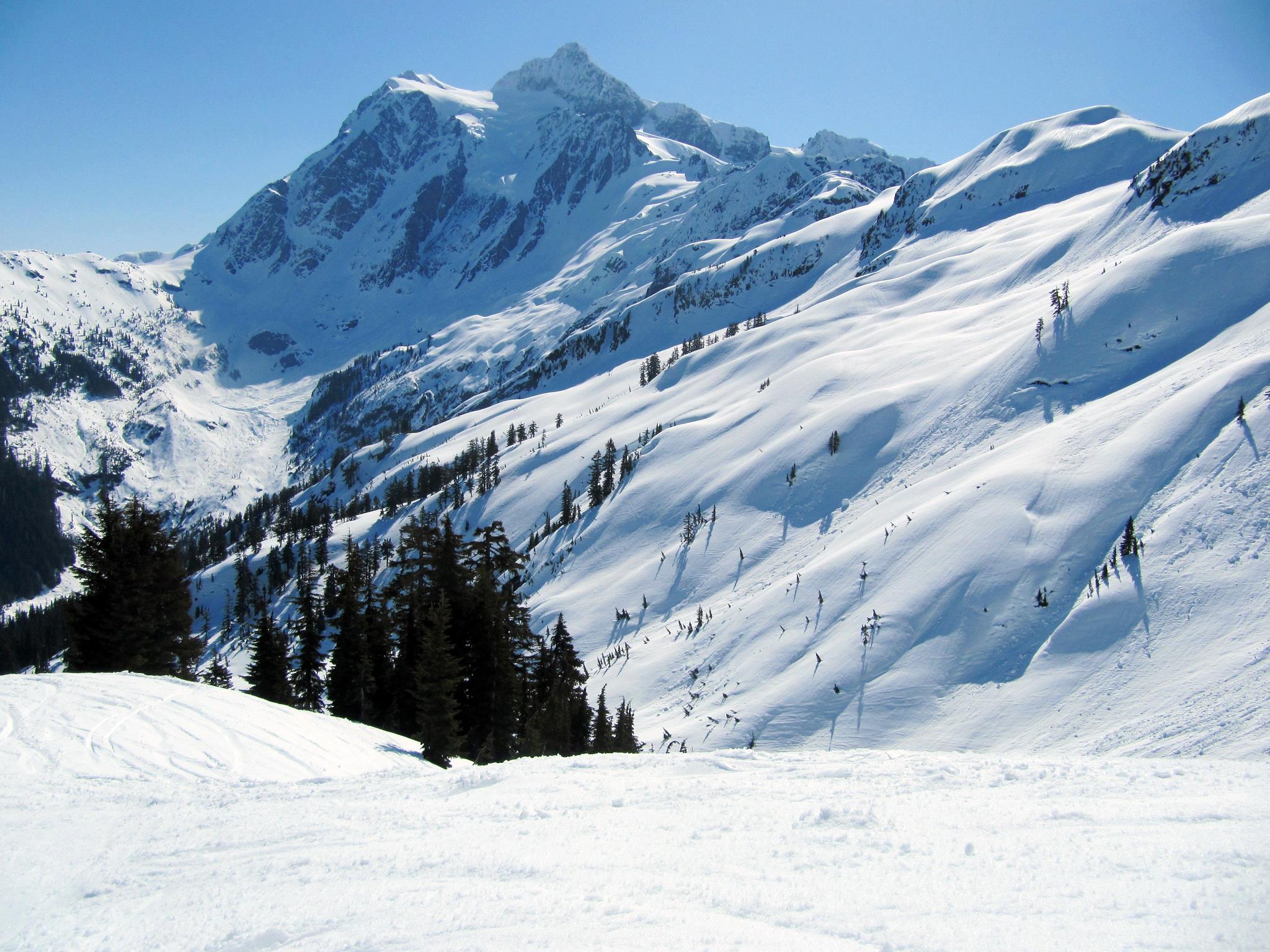
Farmer’s Almanac:
Winter will be drier and slightly colder than normal, with near- to below-normal snowfall. The coldest periods will occur from late November into early December and in late December, with the snowiest periods in early to mid- and late December. April and May will be warmer and drier than normal.
NOAA:
December to February there is 45% chance for below average temps in Washington and slightly less for northern Oregon and 33% chance for above average precipitation in Eastern Washington with equal chances for the rest of the region. March to May there is a 40% chance for below average temps near the Canadian border and equal chances of precipitation with again slightly above in eastern Washington.
Winner: Tied
Reason: The northwest storm track was highlighted by NOAA while Farmer’s Almanac predicted the snowiest part of the season being November/December, which it was. The continuing snowfall of a foot each week through March and April was not highlighted by either. So, it’s a tie for this one.
Lake Tahoe
Farmer’s Almanac:
Winter will be cooler than normal, with above normal snowfall. The coldest periods will occur from late November into early December and in early February. Mountain snows will be above normal, with the stormiest periods in early to mid-November and early and late January. April and May will be slightly drier than normal. Temperatures will be above normal inland.
NOAA:
December to February there is a 33% chance of above average temps for Lake Tahoe and equal chances for average precipitation for the Lake Tahoe region. In March through May, there is a 33% probability of warmer than average temps with 40% chance of below average precipitation.
Winner: None
Reason: Most of the season was dry, interspersed with warm atmospheric rivers pointed at Tahoe. The only thing that saved the season was the epic March where three storms dumped over 8-15 feet of snow. Neither forecast even got close to what happened.
Mammoth / Southern California
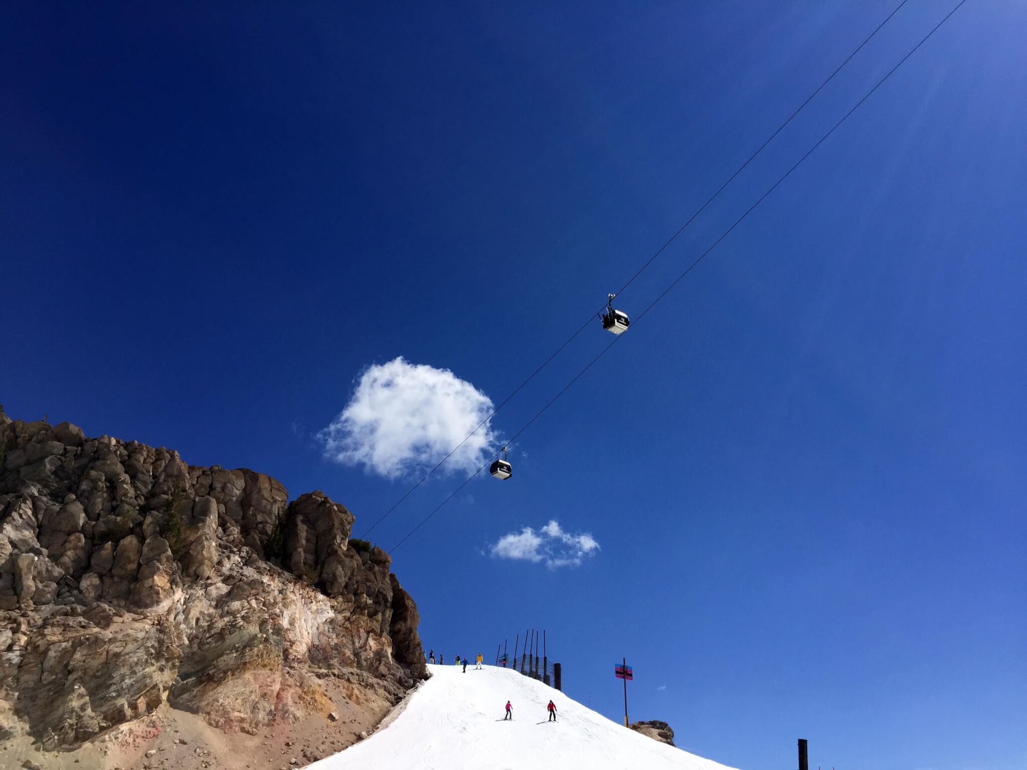 Farmer’s Almanac:
Winter will be cooler than normal, with rainfall near normal. The coldest periods will occur from late November into early December and in early February. Mountain snows will be above normal, with the stormiest periods in early to mid-November and early and late January. April and May will be slightly drier than normal. Temperatures will be above normal.
NOAA:
December to February there is 45% chances for above normal temps in southern California in places like Big Bear with slightly less chances the further north like in Mammoth and nearly a 33% chance of below average precipitation for Southern California. For March into May, there is a 33% probability of warmer than average temps with 40% chance of below average precipitation.
Winner: None
Reason: Again, neither forecast got anywhere close to the truth. Warm storms and dry persistent weather lead to some not-so-good conditions.
So…Who Is The Winner For Predicting 2017/18 season?
Specific regions: NOAA – 2 ; Farmer’s Almanac – 0; Tied — 2
Overall 2017-18 season: NOAA
NOAA predicted a Northwest storm track flow which 2017-18 produced. The major thing it didn’t point out was how dry the Southwest and Colorado would be. Even the Farmers Almanac winter prediction got that wrong. While NOAA may have won this season, they did infinitely worse when it came to the long range weather forecasting in the 2015-16 season.
Summary of Last Season

For those of you curious how the 2017-18 ski season went down overall in North America, check out the following from Bestsnow.net:
- First Half of November: Snowfall was high in western Canada, the Pacific Northwest and US Northern Rockies but well below average farther south.
- Mid to Late November: Warm atmospheric river storms first hit California establishing a base only on the upper parts of Mammoth, Mt, Rose and Kirkwood but nearly all rain elsewhere. The next storm rained over the Pacific Northwest and lower altitudes further inland, but most of those areas already had a snowpack, topped off by a colder storm at the end of November.
- First half of December: During this period, the “Godzilla Ridge” kept the entire western US bone dry with modest snowfalls only in western Canada.
- Second Half of December: California and the Southwest remained dry while there was close to average snowfall elsewhere.
- January: Snowfall continued the season pattern ranging from above average in the northern regions to below average in the southern regions. The most intense storms during the second half of January totaled 6+ feet in Washington, Montana and western Canada.
- First Half of February: A warm storm rained over much of the Pacific Northwest and lower elevation areas farther inland. Snowfall was average or better in higher inland locations of Canada, the US Northern Rockies and Colorado. California, Utah and the Southwest continued to suffer with high pressure and half normal snowfall.
- Second Half of February: This period had average snowfall but bitterly cold temperatures throughout the West.
- Most of March: California was hit by 3 big storms totaling 8-15 feet. Snowfall was average in Utah and northern regions but only half of average in Colorado.
- Late March and April: In late March, the storm track resumed its season pattern moving north to western Canada. An early April warm storm produced rain to the peaks of California and Utah areas but brought dense snow to Colorado. For the rest of April, snowfall was average in western Canada, the US Northern Rockies and the Continental Divide region of Colorado but drier than normal elsewhere.
2017-18 favored the northern over the southern regions to an extreme degree with only a narrow region in-between near average, ranging from Mt. Hood to the Tetons. Many areas in Washington, Montana and farther north were over 120% of normal while most from central Oregon, Utah, Colorado and farther south were under 80%, with the Southwest suffering worst at 60% or less.
If you’re curious to see how other winters stacked up, what were the largest snowstorms to hit ski resorts, or other interesting weather factoids be sure to visit our Ski Weather Facts & Phenomenon homepage.


